What is recorded here
In pasture, on a gentle NE-facing slope. A spread (diam. c. 20m) of burnt material is evident under long grass. Another burnt spread (KE066-035----) is c. 10m to the NNE.
Compiled by: Elizabeth Byrne, Ursula Egan and Sheila Ronan, Archaeological Survey Unit, University College, Cork.
Date of upload: 31 January 2011
The monument record does not grant public access. Check the route and ask the landowner before entering private land.
- What survives
- Recorded monument
Places near here
 Fulachta fianBurnt spread · 139 yd
 Fulacht FianFulacht fia · 289 yd
 RoadRoad, road/trackway · 488 yd
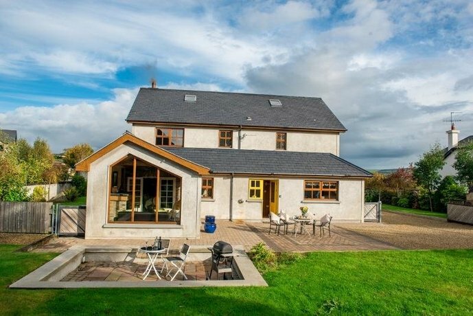 Coolgarriv HouseCountry house · 894 yd
 Famine MemorialMemorial · 1624 yd
 Aghadoe Early Medieval Ecclesiastical SiteHeritage attraction · 1.0 mi
 Parkavonear CastleCastle · 1.1 mi
 Circular WalkWalking route · 1.1 mi
 GinkgoGinkgo · 1.2 mi
 Giant SequoiaGiant Sequoia · 1.2 mi
 Kerry 2nd Brigade of the Irish Republican ArmyMemorial · 1.3 mi
 Jaunting ToursHeritage attraction · 1.6 mi