What is recorded here
Three burning pits cluster in rough Cork grazing, their charred remains still visible after centuries. People likely heated water for cooking or cleansing, transforming raw stone into a temporary kitchen beneath the sky. The adjacent pits suggest repeated use rather than a single event, marking a place where heat and community met before written history forgot the names of those who tended the flames.
In rough grazing. Spread of burnt material noted; extent not determined. One of a group of three fulachta fiadh: one adjacent (CO061-135002-), the other c. 30m to E (CO061-135003-).
The above description is derived from the published 'Archaeological Inventory of County Cork. Volume 3: Mid Cork' (Dublin: Stationery Office, 1997). In certain instances the entries have been revised and updated in the light of recent research.
Date of upload/revision: 14 January 2009
The monument record does not grant public access. Check the route and ask the landowner before entering private land.
- What survives
- Recorded monument
Places near here
 Fulacht FiadhFulacht fia · 443 yd
 Man-made underground passage (Site of)Man-made underground passage · 948 yd
 Derry HouseCountry house · 1728 yd
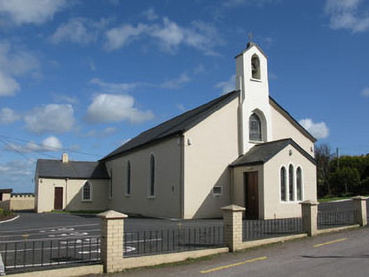 St Patrick's Roman Catholic Churchchurch/chapel · 1.6 mi
 Carrignamuck Tower HouseCastle · 2.0 mi
 Oldcastle WoodWood · 2.1 mi
 Ballyvodane Castle (in Ruins)Castle, unclassified · 2.8 mi
 Ballyanly Inniscarra Slí na SláinteWalking route · 2.8 mi
 Saint Bartholomew's WellSpring · 3.1 mi
 New TipperaryVisitor information · 3.1 mi
 Bob AdamsMemorial · 3.6 mi
 Coachford Greenway (End)Visitor information · 3.8 mi