What is recorded here
In pasture, undergoing deep drainage works at the time of inspection. There are no visible remains of this fulacht fia. A burnt spread (KE066-057----) is c. 85m to the NW and a Man-made underground passage (KE066-055----) is c. 90m to the WSW.
Compiled by: Elizabeth Byrne, Ursula Egan and Sheila Ronan, Archaeological Survey Unit, University College, Cork.
Date of upload: 31 January 2011
This remains an important historical record, but the official description says the monument is no longer visible or has been destroyed. The monument record does not grant public access. Check the route and ask the landowner before entering private land.
- What survives
- No visible remains or recorded as destroyed
Places near here
 IndicatedFairy fort / earthen ringfort · 85 yd
 Enclosure in ParkEnclosure · 754 yd
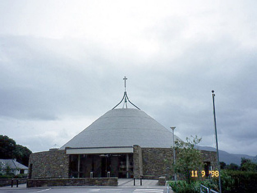 Catholic Church of the Resurrectionchurch/chapel · 1397 yd
 Mass RockNamed rock · 1732 yd
 Lissivigeen Stone CircleHeritage attraction · 1.1 mi
 Killarney Railway Stationrailway station · 1.2 mi
 Flesk CastleCastle · 1.3 mi
 Kerry 2nd Brigade of the Irish Republican ArmyMemorial · 1.3 mi
 Killarney First World War MemorialMemorial · 1.4 mi
 Jaunting ToursHeritage attraction · 1.4 mi
 GinkgoGinkgo · 1.4 mi
 The WildernessForest · 1.7 mi