
What is recorded here
Marked as a fulacht fia only on the 1940 ed. of the OS 6-inch map, and situated in a fold on a SE-facing slope of Slievebaun Hill, with a WNW-ESE stream just to the N. It was described in 1939 as a circular mound of charred stones and black soil (diam. c. 10m; H 0.3-1m) with an indentation at NE (OSFM). Nothing was visible at ground level in 1987, but there was a collection of field stones at the location. Fulacht fia (WX006-080----) is c. 40m to the WNW along the stream and fulacht fia (WX006-079----) and standing stone (WX006-033----) are c. 100m to the SE.
The above description is derived from the published 'Archaeological Inventory of County Wexford' (Dublin: Stationery Office, 1996). In certain instances the entries have been revised and updated in the light of recent research.
Compiled by: Michael Moore
Date of upload/revision: 21 November 2012
The monument record does not grant public access. Check the route and ask the landowner before entering private land.
- What survives
- Recorded monument
Places near here
 Fulacht fia in Kilmichael HillFulacht fia · 96 yd
 Mountnebo WoodForest · 693 yd
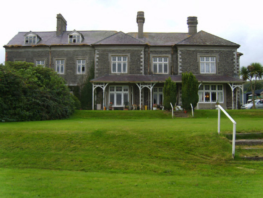 Mount Saint Benedictcountry house · 697 yd
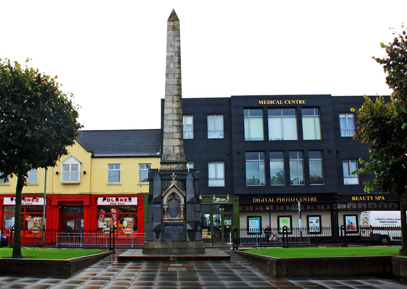 IndicatedFairy fort / earthen ringfort · 700 yd
 Kilmichael HillMountain / peak · 1107 yd
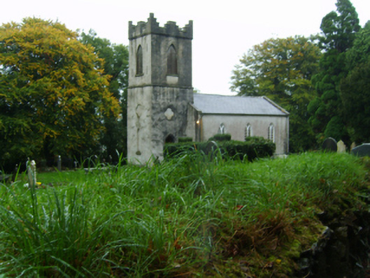 Saint John's Church (Kilnahue)church/chapel · 1511 yd
 Ballingarry WoodForest · 1.1 mi
 Craan HillMountain / peak · 1.2 mi
 1798 MonumentMemorial · 3.4 mi
 Market HouseHeritage attraction · 3.5 mi
 CastleCastle, motte · 3.7 mi
 Saint Brigid's WellSpring · 3.8 mi
Other information
Photo: Credit not shown in the picture search · Rights wording not checked; contact us if this picture should be removed