What is recorded here
In pasture, on a S-facing slope. A low horseshoe-shaped mound (4m E-W; 2.8m N-S; H 0.15m) of burnt material, with the opening (2.1m N-S; 0.6m E-W; D 0.1m) facing S, was inspected here in 1999. Subsequent to the inspection, archaeological test trenching revealed that the fulacht fia material extended beyond the depiction of the site on the 1894 OS 6-inch map (Purcell 2003, 166). Excavation of the S part of the fulacht fia later revealed burnt material (D 0.32m) which had been disturbed and relocated due to ploughing and drainage works (Purcell 2004a, 215).
Compiled by: Elizabeth Byrne, Ursula Egan and Sheila Ronan, Archaeological Survey Unit, University College, Cork.
Date of upload: 31 January 2011
The monument record does not grant public access. Check the route and ask the landowner before entering private land.
- What survives
- Recorded monument
Places near here
 Enclosure in Dromin (magunihy By., Lahard Ed)Enclosure · 116 yd
 Fulacht FianFulacht fia · 314 yd
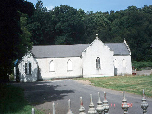 Saint Lelia's Catholic Churchchurch/chapel · 366 yd
 Catholic Church of Christ Prince of Peacechurch/chapel · 525 yd
 Parkavonear CastleCastle · 1.3 mi
 Aghadoe Early Medieval Ecclesiastical SiteHeritage attraction · 1.3 mi
 Rabbit or Brown IslandIslet · 1.8 mi
 Pallis Castle (Site of)Castle, tower house · 1.9 mi
 Japanese pagoda treeJapanese pagoda tree · 2.0 mi
 Lamb IslandIsland · 2.1 mi
 Dunloe Ogham StonesHeritage attraction · 2.3 mi
 European YewEuropean Yew · 2.3 mi
Other information
Photo: Credit not shown in the picture search · Rights wording not checked; contact us if this picture should be removed