What is recorded here
In reclaimed marsh. Depicted as hachured kidney-shaped mound on 1940 OS 6-inch map. No visible surface trace. According to local information (Walsh 1985, 69, 137, no. 158) levelled during drainage c. 1973.
The above description is derived from the published 'Archaeological Inventory of County Cork. Volume 2: East and South Cork' (Dublin: Stationery Office, 1994). In certain instances the entries have been revised and updated in the light of recent research.
Date of upload/revision: 14 January 2009
The monument record does not grant public access. Check the route and ask the landowner before entering private land.
- What survives
- Recorded monument
Places near here
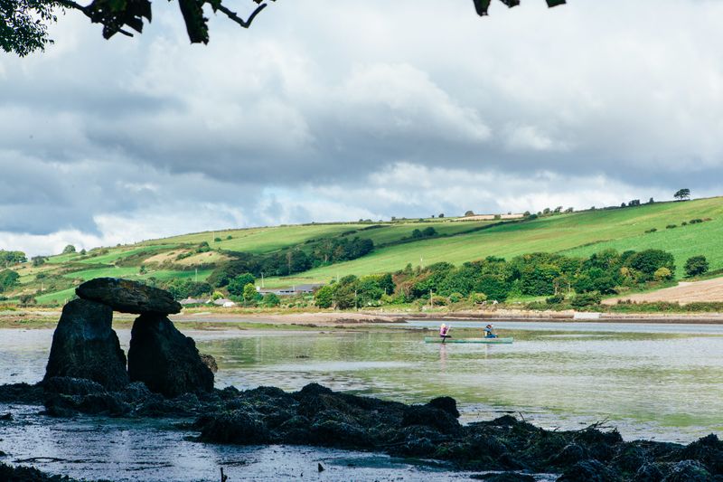 Fulacht FianFulacht fia · 267 yd
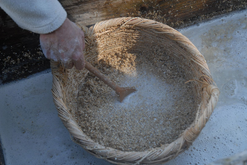 Fulacht FiadhFulacht fia · 776 yd
 The Blind BridgeBridge · 1106 yd
 Rumley's Open FarmHeritage attraction · 1205 yd
 Abbey Bridgebridge · 1400 yd
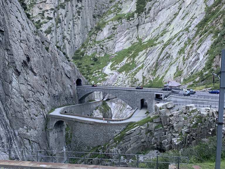 Monument WaterfallMonument · 1749 yd
 waterfallVisitor information · 1.0 mi
 Graveyard in BallynoraGraveyard · 1.2 mi
 Corbally Montessori & Early Years' Pre-schoolVisitor information · 1.3 mi
 Caslte (Site of)Castle, unclassified · 1.5 mi
 Sunday WellSpring · 2.0 mi
 Lavitts QuayMemorial · 5.3 mi