What is recorded here
Marked as a fulacht fia on the 1927 ed. of the OS 6-inch map, and situated in pasture towards the head of a small N-S valley and at the headwaters of a small N-S stream. It is not visible at ground level. Burnt mound (WA022-030----) is c. 100m to the NE, and burnt mound (WA022-032----) is c. 140m to the SSW.
The above description is derived from the published 'Archaeological Inventory of County Waterford' (Dublin: Stationery Office, 1999). In certain instances the entries have been revised and updated in the light of recent research.
Date of upload/revision: 23rd March, 2011. Compiled by: Michael Moore.
Fulacht Fiaidh, Garryduff is a Bronze Age burnt mound, typically associated with ritual or domestic activities involving heat. Its presence indicates early land use and habitation in the area, though its specific significance remains unclear due to lack of visible features.
The monument record does not grant public access. Check the route and ask the landowner before entering private land.
- What survives
- Recorded monument
Places near here
 Fulacht FiaidhBurnt mound · 146 yd
 Burnt mound in Ballykerin UpperBurnt mound · 694 yd
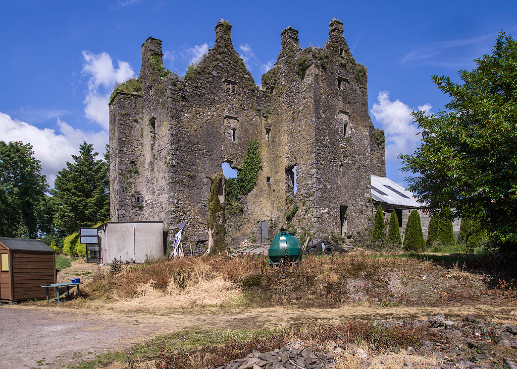 Sleady Castle (in ruins)House, 17th century · 1.2 mi
 farmyard complexfarmyard complex · 1.6 mi
 Black HillMountain / peak · 1.8 mi
 Master McGrathMemorial · 3.5 mi
 Kilgreany CaveCave · 4.0 mi
 IndicatedBawn · 4.4 mi
 site of CastleCastle, unclassified · 5.0 mi
 Coillte infoboardVisitor information · 5.0 mi
 Glenshelane WoodsForest · 5.2 mi
 Horse-chestnutHorse-chestnut · 5.7 mi