What is recorded here
In coniferous plantation. Shown as mound on 1937 OS 6-inch map. Inaccessible. Possibly one of two fulachta fiadh (11783) recorded by Bowman (1934, 289) in townland, one on M. O'Callaghan's land, one on Connie Murphy's.
The above description is derived from the published 'Archaeological Inventory of County Cork. Volume 4: North Cork' (Dublin: Stationery Office, 2000). In certain instances the entries have been revised and updated in the light of recent research.
Date of upload/revision: 14 January 2009
The monument record does not grant public access. Check the route and ask the landowner before entering private land.
- What survives
- Recorded monument
Places near here
 Fulacht fia in MoherFulacht fia · 136 yd
 Mine in CleanrathMine · 382 yd
 Holy WellHoly well · 526 yd
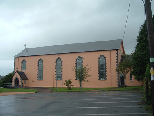 Church of the Presentation of Our Ladychurch/chapel · 1744 yd
 Dromsicane Castle (in Ruins)Bawn · 2.0 mi
 Drominagh Castle (Site of)Castle, unclassified · 2.2 mi
 Rathcool WoodWood · 3.5 mi
 Millstreet Tourist InformationVisitor information · 3.7 mi
 Claragh Loop (Trailhead 99)Visitor information · 3.7 mi
 Millstreet Museum & Tourist Information CentreMuseum · 3.7 mi
 Battle of Knocknaclashybattle · 4.2 mi
 RowanRowan · 4.6 mi