What is recorded here
No map or photograph ever showed the site before pipeline works opened the flat pasture in 2002. Seven large pits and scattered smaller holes held charcoal mixed with clay, while a sub-oval pit contained concentric stake-holes that may have supported a roasting rack or retained a wooden trough. People may have gathered there to cook, clean or transform ordinary things through heat, then left only a shallow scar in the earth.
On flat pasture 314m ENE of Castle Ievers and 315m SW of the townland boundary with Drombeg. One of a group of four prehistoric sites (LI031-217/218/219/220----) excavated within 600m on the Bord Gáis Éireann's Pipeline to the West in 2002 in Tullerboy townland (Grogan et. al. 2007). No trace of the monument was present on historic maps or aerial photographs prior to the discovery of the site during pipeline construction.
The site (ext. dims. 11.6m N-S; 7.8m E-W) was composed of seven large pits and numerous smaller pits. Most were shallow, possible natural depressions within the sub-soil containing charcoal mixed with clay. Some of the site was covered by a thin spread of burnt stone and charcoal. A sub-oval pit (ext. dims. 1.8m N-S; 1.3m E-W) contained a series of concentric stake-holes along the base and occasionally in the centre. This was seen as a possible roasting pit, with stakes supporting a rack, alternatively the stakes may have retained a wooden trough. This site was interpreted as remnant of a fulacht fia (Halpin 2004, 348).
Compiled by: Edmond O’Donovan
Date of upload: 27 October 2020
The monument record does not grant public access. Check the route and ask the landowner before entering private land.
- What survives
- Recorded monument
Places near here
 Castle IeversCastle, unclassified · 373 yd
 St Broneys WellHoly well · 1210 yd
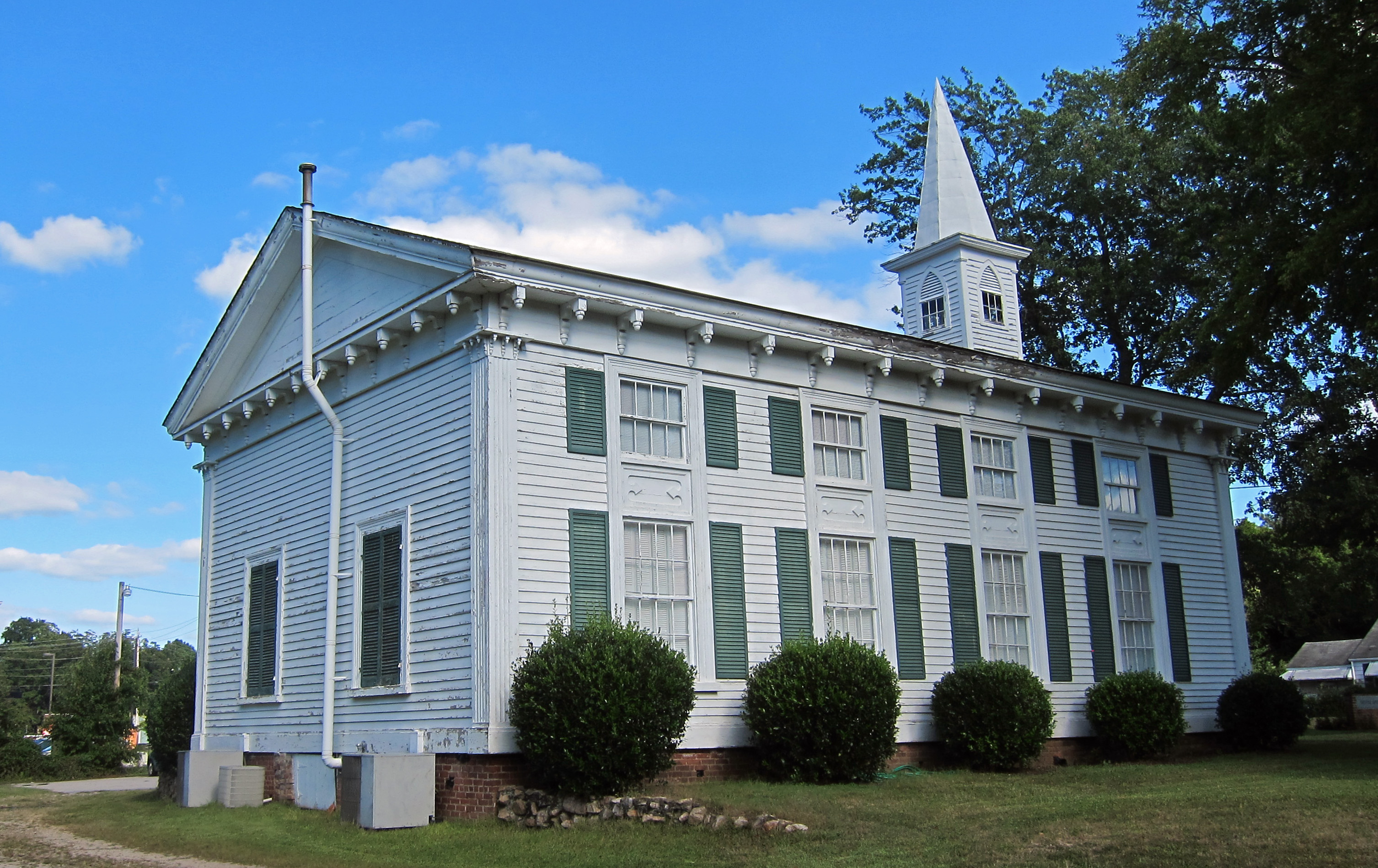 Church (in ruins)Church · 1241 yd
 RoadRoad, hollow-way · 1610 yd
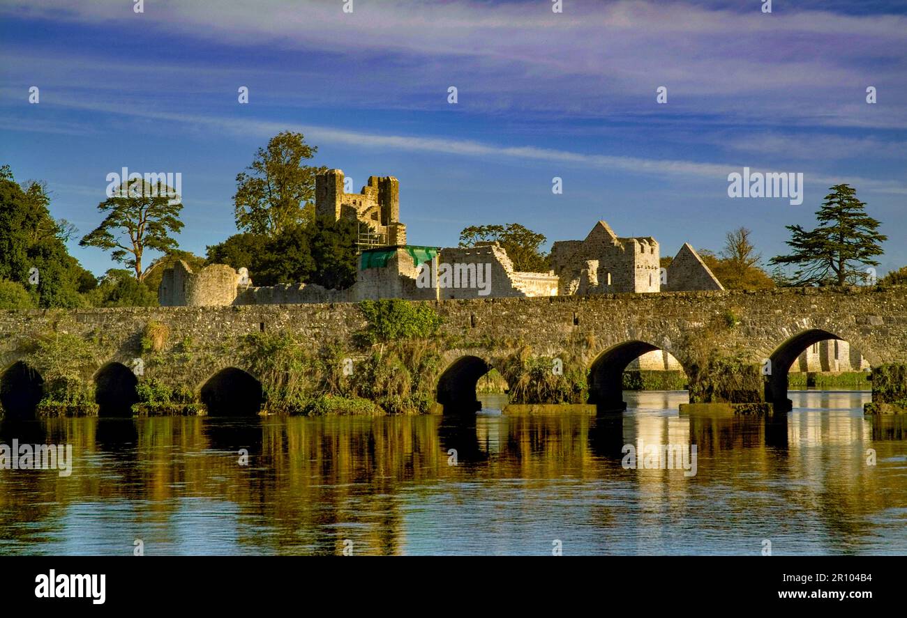 BarrowBarrow, unclassified · 1680 yd
 Athlacca Ho. (in ruins)Castle, unclassified · 1.3 mi
 Monasteranenagh AbbeyHeritage attraction · 2.9 mi
 European ashEuropean ash · 3.5 mi
 Biodiversity in the Maigue CatchmentVisitor information · 4.2 mi
 Dysert AenghusaHeritage attraction · 5.0 mi
 KnockfeerinaMountain / peak · 6.6 mi
 Saint Derivla's WellSpring · 7.5 mi