What is recorded here
Situated on top of a low mound with another burnt spread (TN020-143001) located c.30m to the NW. The site was discovered during fieldwalking of the ploughed route of the N52 Nenagh Bypass link road (Hughes and O'Brien 1999). It consists of a large burnt stone spread (dims. c.29m x 36m) (ibid.).
Compiled by: Caimin O'Brien.
Date of upload: 22 September 2008
The monument record does not grant public access. Check the route and ask the landowner before entering private land.
- What survives
- Recorded monument
Places near here
 Tullahedy CastleCastle · 536 yd
 ShannacloghRuins · 572 yd
 CastleCastle, motte and bailey · 862 yd
 Fulacht fia in Grallagh (monsea Par.)Fulacht fia · 926 yd
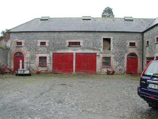 Solsborough Houseoutbuilding · 1154 yd
 Ballycahill Church (site of)Church · 1613 yd
 Nenagh Heritage CentreMuseum · 1.6 mi
 Old BarracksHeritage attraction · 1.9 mi
 Gibbet HillMountain / peak · 3.5 mi
 Blessed WellNature reserve · 3.9 mi
 Sweet ChestnutSweet Chestnut · 4.1 mi
 The MinerMemorial · 4.2 mi