What is recorded here
Situated c.30m SE of another burnt spread (TN020-143002). The site was discovered during fieldwalking of the ploughed route of the N52 Nenagh Bypass link road (Hughes and O'Brien 1999). It consists of two distinct burnt stone spreads which may represent the remains of a classic horseshoe-shaped mound (dims. c.9m x 16m) (ibid.).
Compiled by: Caimin O'Brien.
Date of upload: 22 September 2008
The monument record does not grant public access. Check the route and ask the landowner before entering private land.
- What survives
- Recorded monument
Places near here
 Tullahedy CastleCastle · 595 yd
 ShannacloghRuins · 648 yd
 Fulacht fia in Grallagh (monsea Par.)Fulacht fia · 853 yd
 CastleCastle, motte and bailey · 923 yd
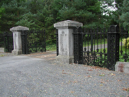 Solsborough Housegates/railings/walls · 1094 yd
 Ballycahill Church (site of)Church · 1689 yd
 Nenagh Heritage CentreMuseum · 1.6 mi
 Old BarracksHeritage attraction · 1.9 mi
 Gibbet HillMountain / peak · 3.5 mi
 Blessed WellNature reserve · 3.8 mi
 Sweet ChestnutSweet Chestnut · 4.2 mi
 The MinerMemorial · 4.2 mi