What is recorded here
Situated on a fairly level landscape. Archaeological testing (04E0916) by S. Delaney (2005) at Testing Area 11 of Contract 4 of the M3 motorway identified (excavations.ie 2004:1271) archaeological material that was partially excavated (E003147) in January 2007 by G. McLoughlin (2010) as Town Parks 1 when an area of 1800 square metres was opened and two fulachta fia were recorded (excavations.ie 2007:1395), but both features survive partially outside the excavated area to the SW.
Mound B is a large D-shaped mound of loose black sandy silt with heat-shattered stones (dims 11m NW-SE; 10m plus NE-SW; T 0.15m) extending off to the SW and only about half the mound was excavated. It overlay a grey silty clay with less broken and burnt stones, and both layers seal a large pit or water-hole (dims 1.7m NW-SE; 1.4m plus NE-SW; D 0.6m) that extends off to the SW. This was filled with a single deposit of charcoal-rich soil with heat-affected stones. A sample of Pomoideae charcoal from the water-hole provided a C14 date of 1005-855 cal. BC (UBA 11081). Two small pits (diam. 0.57m; D 0.34m: 0.85m; D 0.08m) with similar fills including heat-affected stones were cut in the subsoil, but no artefacts were recorded anywhere. The top of the mound was cut by NNE-SSW furrows. The fulacht fia (ME017-081002-) is c. 30m to the SE and although this monument has no identifiable trough it can be regarded as a fulacht fia, half of which survives outside the road corridor. (McLoughlin 2010, 6-9)
See the attached site plan from McLoughlin (2010, fig. 5)
Compiled by: Michael Moore
Date of upload: 11 March 2022
The monument record does not grant public access. Check the route and ask the landowner before entering private land.
- What survives
- Recorded monument
Places near here
 Furzy WoodWood · 775 yd
 Tiermurrin WoodWood · 861 yd
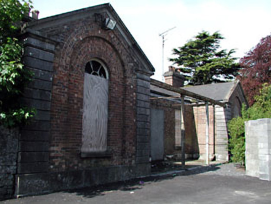 Kells Railway Stationrailway station · 1281 yd
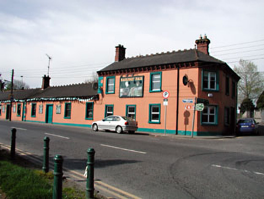 Railway Househotel · 1283 yd
 Enclosure in Kilmainham (kells Upper By., Teltown Par.)Enclosure · 1310 yd
 Enclosure in Headfort DemesneEnclosure · 1388 yd
 James CarolanMemorial · 1629 yd
 Saint John's CemeteryMemorial · 1673 yd
 CastleCastle, unclassified · 1.0 mi
 Castle ruinsCastle · 1.3 mi
 BallybegMountain / peak · 2.3 mi
 MountainpoleMountain / peak · 2.9 mi