What is recorded here
No new end of road, no chamber, no visible mound. The canoe itself is the kitchen: a hollowed tree trunk set into earth, heated by water and stone, used to cook or clean before it was buried. That much is clear. What is lost is the sound of the place working, the smell of wet bark and hot steam, the hands that fed it and the reason it was abandoned. The chamber is gone, but the function remains written in the shape of the wood.
Listed as ‘Potential site, documentation’ in the SMR (1992) and the RMP (1996) with the Irish Grid reference 14927, 17403 (ITM 549225, 674060) as the word ‘Canoe’ was written at that location on to a set of OS 1st edition 6-inch maps used by T.J. Westropp. The canoe was found in 1989 and was the subject of a rescue excavation by the National Museum. Analysis of the canoe revealed that it had been used as a trough for a fulacht fia and it was radiocarbon dated to 1550 BC (Clare Champion 30 August 1991). The correct find spot (ITM 549323, 674070) some 95m to the E) was pointed out to Forest Service in May 2019 by the landowner and burnt stone was still evident at the surface.
Revised by: Mary Tunney
Date of revision: 28 May 2019
The monument record does not grant public access. Check the route and ask the landowner before entering private land.
- What survives
- Recorded monument
Places near here
 Enclosure in TeeroneaEnclosure · 332 yd
 Enclosure in KnockatooreenEnclosure · 837 yd
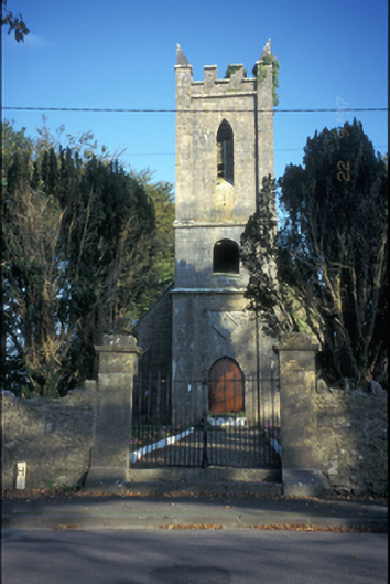 Kilkishen Church (Conlea)church/chapel · 1312 yd
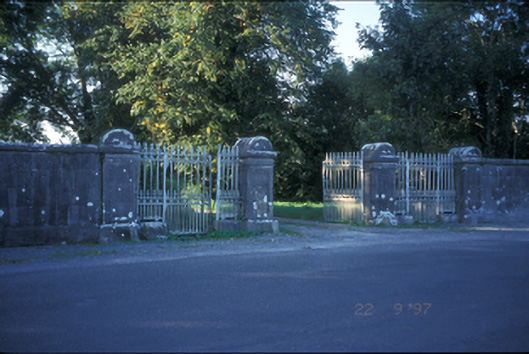 Kilkishen Housedemesne walls/gates/railings · 1615 yd
 Kilkishen Castle (in Ruins)Castle, tower house · 1.2 mi
 CraggaunowenNationally known place · 1.8 mi
 Craggaunowen CastleCastle, tower house · 1.8 mi
 The RingfortHeritage attraction · 1.8 mi
 Cloghleagh RockNamed rock · 2.0 mi
 islandWood · 3.1 mi
 Mass RockMemorial · 3.4 mi
 Deerpark WoodForest · 4.2 mi