What is recorded here
Heh. You want a story, not a file. I can write one now, but I will not mislabel what the facts are missing.
A low mound with burnt stone, now destroyed (Local information).
The above description is derived from the published 'Archaeological Inventory of County Laois' (Dublin Stationery Office, 1995) compiled by P. David Sweetman, Olive Alcock and Bernie Moran. In certain instances the entries have been revised and updated in the light of recent research.
Date of upload: 17 December 2007
This remains an important historical record, but the official description says the monument is no longer visible or has been destroyed. The monument record does not grant public access. Check the route and ask the landowner before entering private land.
- What survives
- No visible remains or recorded as destroyed
Places near here
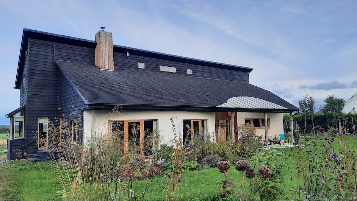 Enclosure in Slatt LowerEnclosure · 272 yd
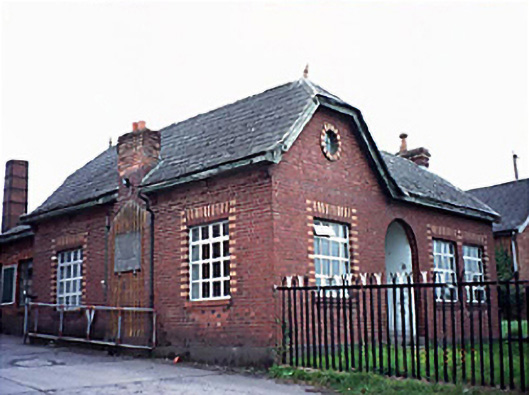 Fleming's Fireclaysworker's house · 1176 yd
 Enclosure in AghadreenEnclosure · 1697 yd
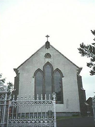 Saint Mary's Catholic Churchchurch/chapel · 1.1 mi
 CastleCastle, unclassified · 3.2 mi
 New Castle in ruinsCastle, unclassified · 3.5 mi
 European ashEuropean ash · 4.2 mi
 Timahoe Church and Round TowerVisitor information · 4.8 mi
 Kilgorey Old BurialVisitor information · 4.9 mi
 DM PenderMemorial · 6.6 mi
 Mass Rock WalkWalking route · 7.2 mi
 Cobbler's Castle WalkWalking route · 7.3 mi