
What is recorded here
Top soil monitoring in 1998 revealed an oval trough (1.5m x 1.1m x 0.3m deep) sealed by a deposit of clay that also sealed a number of deposits of burnt stone and charcoal, a cobbled area and a line of stake-holes. A subrectangular hut site was also associated with it. This suggests that this phase saw the use of a trough alongside a cobbled area and hut site. The stake-holes began parallel to the trough and may have acted as some form of windbreak or screen at the southern end of the cobbled area, shielding the site from the prevailing winds (O'Neill 2000, 37-9). The trough had been excavated down to the local shale bedrock and appeared to fill freely with water, which percolated through the beds of shale. A sticky, grey clay, heavily stained with charcoal, filled the trough. The area of stake-holes measured 3.6m (north- south) by 2.1m and was defined by an oval setting of stake-holes. There was no indication of the presence of an entrance, other than an ill-defined gap in the south-eastern corner. The presence of multiple lines of stake-holes in some places suggested that there were a number of phases of reuse of the site for some form of light hut or tent structure (O'Neill 2000, 37-9).
Compiled by: Geraldine Stout and Padraig Clancy.
Revised upload on: 21 April 2018.
The monument record does not grant public access. Check the route and ask the landowner before entering private land.
- What survives
- Recorded monument
Places near here
 Megalithic tomb in ShankillMegalithic tomb · 287 yd
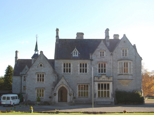 Old Conna Hillcountry house · 682 yd
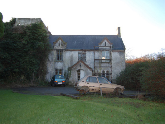 Shankill Castlefarm house · 744 yd
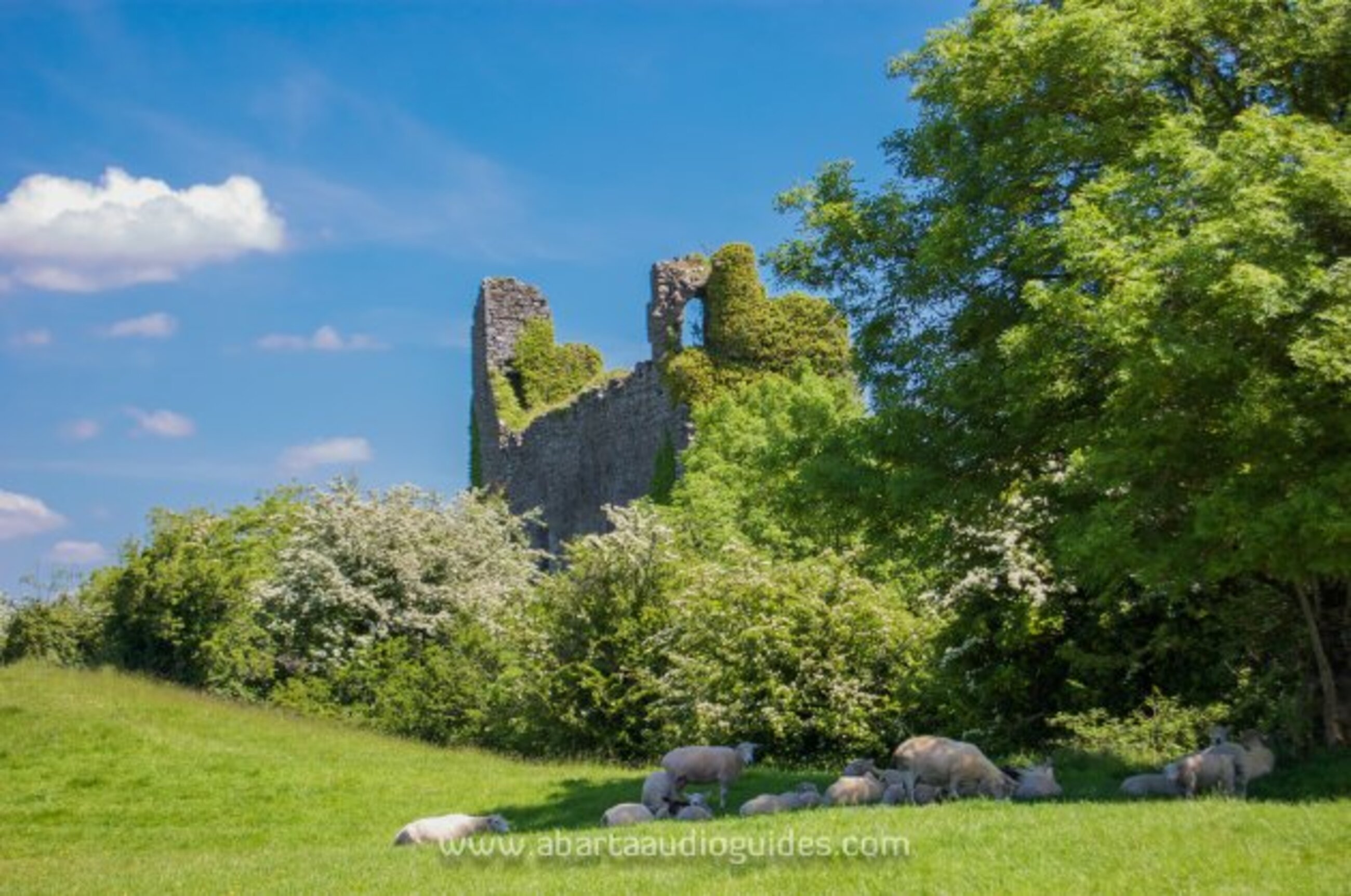 Settlement desertedSettlement deserted, medieval · 866 yd
 Rathmichael WalkWalking route · 993 yd
 Carrickgollogan HillMountain / peak · 1113 yd
 Bawn in RathmichaelBawn · 1326 yd
 Puck's CastleCastle · 1359 yd
 St. James GateVisitor information · 1682 yd
 Dublin Mountains Way Trailhead SignVisitor information · 1.0 mi
 Graveyard in BallymanGraveyard · 1.3 mi
 Monterey CypressMonterey Cypress · 1.5 mi
Other information
Photo: Credit not shown in the picture search · Rights wording not checked; contact us if this picture should be removed