What is recorded here
In pasture. According to local information, spread of 'cracked stone and black soil' noted when field was ploughed. No visible surface trace. Possibly one of three fulachta fiadh (11613, 11614) recorded by Bowman (1934, 310) on D. O'Riordan's land.
The above description is derived from the published 'Archaeological Inventory of County Cork. Volume 4: North Cork' (Dublin: Stationery Office, 2000). In certain instances the entries have been revised and updated in the light of recent research.
Date of upload/revision: 14 January 2009
The monument record does not grant public access. Check the route and ask the landowner before entering private land.
- What survives
- Recorded monument
Places near here
 IndicatedFairy fort / earthen ringfort · 1204 yd
 LisabramFairy fort / earthen ringfort · 1443 yd
 Church of Our Lady of Lourdeschurch/chapel · 1.4 mi
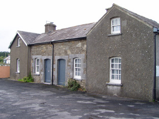 Millstreet Railway Stationworker's house · 1.4 mi
 Dromsicane Castle (in Ruins)Bawn · 1.8 mi
 Claragh MountainMountain / peak · 1.9 mi
 Millstreet Museum & Tourist Information CentreMuseum · 1.9 mi
 Claragh Loop (Trailhead 99)Visitor information · 1.9 mi
 St. Patrick's ChurchVisitor information · 1.9 mi
 Castle and TurretCastle, tower house · 2.4 mi
 RowanRowan · 2.5 mi
 CurracahillMountain / peak · 3.1 mi