What is recorded here
Four thousand years ago, people heated water in that damp hollow beside Saleens Lough, cracking sandstone with fire until the margin still glitters beneath the peat. They may have cooked, cleaned or gathered there, leaving behind oak charcoal, ash fragments and a handful of cattle bone. The place has lost its trough and most of its shape, but the burnt margin remains a small fierce mark inside the soft ground, waiting for rain and memory to complete it.
On the S outskirts of Castlebar town, in an area of lowlying, damp ground 400m NE of Saleens Lough, located in a natural peat-filled hollow.
This fulacht fia was identified in August 2018 during archaeological testing (licence no. 18E0455) carried out on behalf of Mayo Co. Co. in advance of a proposed housing development (Zajac 2018; Zajac 2019). It was subsequently fully excavated under the same licence in December 2018 (Murphy 2019).
The excavation revealed a thin spread (6m E–W; 3m N–S; H 0.1m) of fire-cracked sandstone, charcoal fragments and charcoal-stained clay. It underlay peat, and the underlying subsoil consisted of white marl. It was truncated at N by a later land drain on an E–W axis.
No evidence of a trough was found, and there were no associated artefacts. Charcoal fragments from the burnt layer were identified as oak and ash. Within the peat at W edge burnt stone layer, there was a deposit of unworked wood, mostly twigs and small branches, which had been preserved in the boggy conditions. Five fragments of animal bone were recovered from this deposit; two fragments were identified as being from cattle leg bones.
The spread of burnt stones was interpreted by the excavator as the truncated remnants of a fulacht fia. A charcoal sample was submitted for radiocarbon analysis, and returned a calibrated date of 2578-2457 BC (3980+/-30 BP), indicating use in the Late Neolithic/Early Bronze Age date (Murphy 2019, 5).
Compiled by: Jane O'Shaughnessy
Date of upload: 21 November 2019
The monument record does not grant public access. Check the route and ask the landowner before entering private land.
- What survives
- Recorded monument
Places near here
 Castlebar Railway Stationsignal box · 221 yd
 IndicatedFairy fort / earthen ringfort · 462 yd
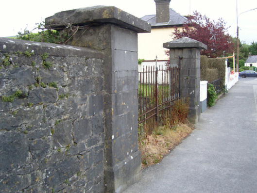 The Lawngates/railings/walls · 713 yd
 1798 MemorialMemorial · 1490 yd
 Garden of RemembranceMemorial · 1.0 mi
 Battle of CastlebarMajor battlefield · 1.2 mi
 Black FortFairy fort / earthen ringfort · 1.2 mi
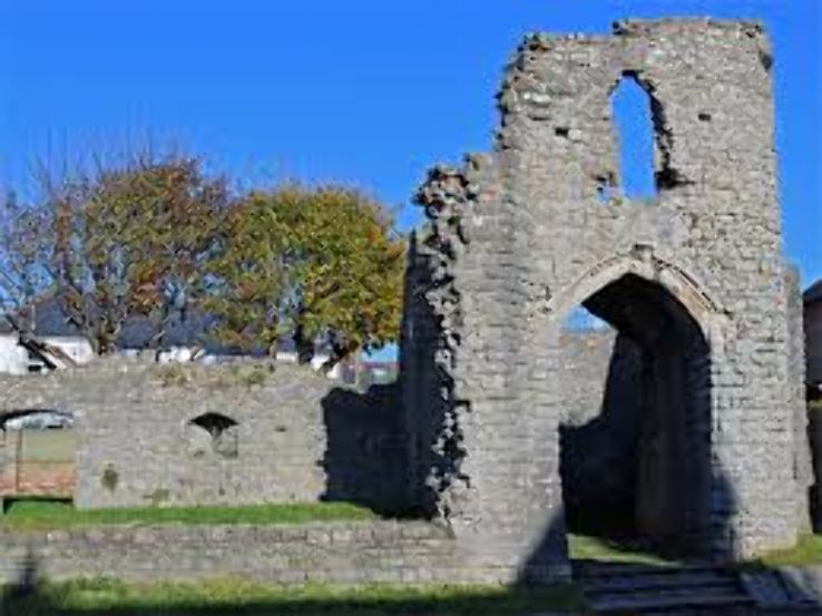 Barry CastleRuins · 1.3 mi
 Breaffy WoodsWood · 1.7 mi
 Black mulberryBlack mulberry · 1.9 mi
 Kinturk CastleCastle · 3.4 mi
 National Museum of Ireland, Country LifeMuseum · 4.1 mi