What is recorded here
In a rush-covered field in an area of rough grazing land. This fulacht fia came to light when a NE-SW running drain was being dug to the SE of a trackway. A spread of burnt stone and ash (10m NE-SW; D 0.45m) was exposed on both sides of the drain. A circular area (diam. 7m) free of rushes to its E may be associated. Another fulacht fia (GA022-130----) lies c. 160m to the SSE.
Compiled by: Olive Alcock with information supplied by Leo Morahan
Date of upload: 2 January 2019
The monument record does not grant public access. Check the route and ask the landowner before entering private land.
- What survives
- Recorded monument
Places near here
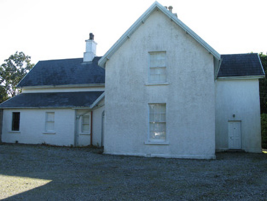 The Rectoryrectory/glebe/vicarage/curate's house · 653 yd
 Ballynakill ChurchChurch · 723 yd
 Enclosure in RoscreaEnclosure · 886 yd
 ToberdavinHoly well · 1075 yd
 RoeillaunIslet · 1.3 mi
 DerrylahanMountain / peak · 1.5 mi
 Connemara National Park Visitor CentreHeritage attraction · 2.1 mi
 Connemara National ParkNational park · 2.1 mi
 Tully MountainMountain / peak · 2.6 mi
 GlassillaunIslet · 3.0 mi
 Cabbage treeCabbage tree · 3.7 mi
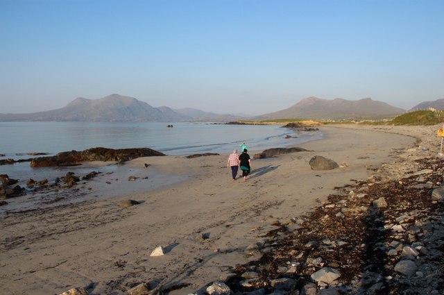 Renvyle BeachBeach / strand · 4.2 mi