What is recorded here
In pasture, on the western edge of Ballinrobe town, located close to the N bank of the River Robe.
Discovered and subsequently fully excavated (94E0017) in 1994 during the Ballinrobe Sewerage Disposal Scheme. The mound, which appeared to have been levelled in the past, consisted of an oval area (7.5m x 4.5m; T 0.22m) composed of charcoal rich soil and heat-shattered stones. A possible hearth underlay the S end of the mound, and under the N end of the mound there was a natural depression in the limestone bedrock, filled with dark brown soil, which possibly served as a trough. A chert barbed and tanged arrowhead, some flints, a possible hone stone and a sheep tooth were recovered from the mound. A flint flake was recovered from the dark brown layer under the mound. (Walsh 1994; 1995).
Compiled by: Jane O'Shaughnessy
Date of upload: 24 February 2014
The monument record does not grant public access. Check the route and ask the landowner before entering private land.
- What survives
- Recorded monument
Places near here
 bridgebridge · 133 yd
 CastleCastle, unclassified · 184 yd
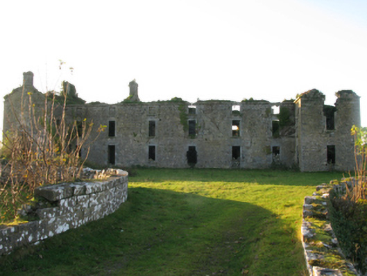 Ballinrobe Cavalry Barracksbarracks · 185 yd
 RathkellyFairy fort / earthen ringfort · 250 yd
 European ashEuropean ash · 525 yd
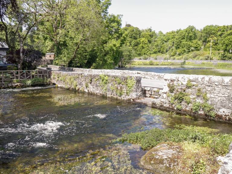 Enclosure in CornaroyaEnclosure · 612 yd
 LabbadermotCave · 1.7 mi
 Castle Hag RockIslet · 2.7 mi
 Aghinish RocksIslet · 2.9 mi
 Cloonagashel CastleCastle · 3.2 mi
 SycamoreSycamore · 3.3 mi
 Black RocksNamed rock · 4.3 mi