What is recorded here
This potential feature was reported by Michael Connolly, County Archaeologist, Kerry County Council. It was identified by him during the course of an assessment of a 40 square mile area for the purpose of choosing a road route in 2000 to the north of Killarney. Reported to the Archaeological Survey of Ireland as an extant fulacht fia. There was no obvious surface trace of a fulacht fia at this location, however the search locus was limited due to large areas of windblown trees. For this reason, the results of the current survey are inconclusive.
The monument record does not grant public access. Check the route and ask the landowner before entering private land.
- What survives
- Recorded monument
Places near here
 Enclosure in ParkEnclosure · 166 yd
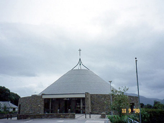 Catholic Church of the Resurrectionchurch/chapel · 708 yd
 Enclosure in Deerpark (magunihy By.)Enclosure · 726 yd
 Killarney Railway Stationrailway station · 1145 yd
 Killarney First World War MemorialMemorial · 1520 yd
 Kerry 2nd Brigade of the Irish Republican ArmyMemorial · 1538 yd
 Jaunting ToursHeritage attraction · 1566 yd
 GinkgoGinkgo · 1686 yd
 Flesk CastleCastle · 1.1 mi
 Mass RockNamed rock · 1.2 mi
 The WildernessForest · 1.2 mi
 Lissivigeen Stone CircleHeritage attraction · 1.3 mi