What is recorded here
In low-lying flat marshland. When initially inspected in July 1992, this fulacht fia consisted of a grassed-over horseshoe-shaped mound of burnt stone (12m E-W; 10m N-S; H 1m) opening to the WSW. A drain was visible c. 15m to its S. Another fulacht fia (GA083-070----) lay to the SE. On re-inspection in June 2006, the entire field was found to have been cleared in advance of pre-development works and access road had been laid. The fulacht fiadh had been levelled.
Compiled by: Olive Alcock
Date of upload: 11 July 2023
The monument record does not grant public access. Check the route and ask the landowner before entering private land.
- What survives
- Recorded monument
Places near here
 Enclosure in Derrydonnell More,moyveelaEnclosure · 543 yd
 Enclosure in PalmerstownEnclosure · 758 yd
 Derrydonnell Castle (in ruins)Castle, tower house · 1054 yd
 TemplegalChurch · 1395 yd
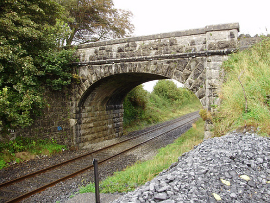 Derrydonnell Bridgebridge · 1.1 mi
 Bawn in MoyveelaBawn · 1.4 mi
 Loughaun WoodWood · 3.7 mi
 Horse-chestnutHorse-chestnut · 3.7 mi
 Athenry AbbeyHeritage attraction · 3.7 mi
 Athenry CastleHeritage attraction · 3.8 mi
 First Battle of Athenrybattle · 3.9 mi
 Rabbit IslandIslet · 7.5 mi