What is recorded here
In wet pasture, bordering a broad expanse of flat bogland that stretches to S and SE. A kidney-shaped mound (15m ENE-WSW; 8.7m NNW-SSE; H 0.95m) of heat-shattered stones and dark soil. There is a shallow oval depression (3m NE-SW; 2m NW-SE) in the W half. The NW end is adjacent to a low flat-topped rise bounded by bedrock. A possible fulacht fia (SL038-139002-) lies 8m to SSW and a small stone-lined well, associated with a nearby ruined 19th-century cottage, c. 8m to NE.
The above description is derived from the published 'Archaeological Inventory of County Sligo' compiled by Ursula Egan, Elizabeth Byrne, Mary Sleeman with Sheila Ronan and Connie Murphy (Dublin Stationery Office, 2005).
Date of upload: 18 January 2008
The monument record does not grant public access. Check the route and ask the landowner before entering private land.
- What survives
- Recorded monument
Places near here
 Indicated (1838).Fairy fort / earthen ringfort · 622 yd
 IndicatedFairy fort / stone ringfort · 660 yd
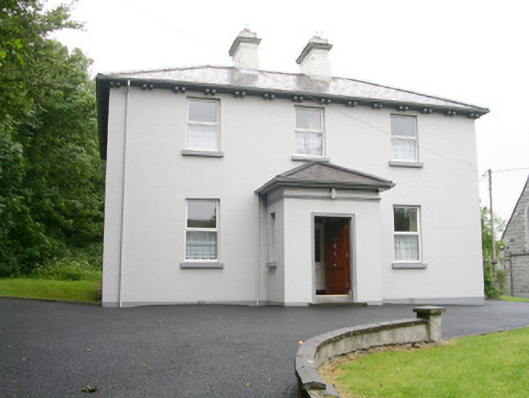 Catholic Church of Saint John the Evangelistpresbytery/parochial/curate's house · 940 yd
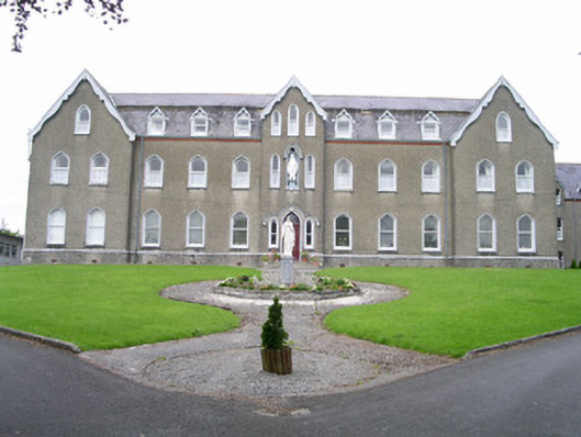 Saint Joseph's Conventconvent/nunnery · 1045 yd
 CastleCastle, unclassified · 1.4 mi
 Ballyara Castle (in Ruins)Castle, unclassified · 1.8 mi
 Muckelty HillMountain / peak · 2.5 mi
 Old Cave Burial GroundArchaeological place · 4.3 mi
 Tymon's HillMountain / peak · 4.5 mi
 Tawnyart WoodWood · 5.4 mi
 New WoodWood · 5.7 mi
 Lough Talt TrailVisitor information · 8.5 mi