What is recorded here
Situated in a basin that extends north from Moynagh Lough, and which at one time would have been occupied by the lake. It is now the valley of a canalised NNW-SSE section of the River Dee, which is c. 50m to the E and Moynagh Lough is c. 200m to the SSW. A low grass-covered mound (dims 7.6m N-S; c. 4m E-W; H 0.1m) is kidney-shaped curving to the W at N and S. (Corlett 1997)
Compiled by: Michael Moore
Date of upload: 27 June, 2014
Amended: 4 July, 2014
The monument record does not grant public access. Check the route and ask the landowner before entering private land.
- What survives
- Recorded monument
Places near here
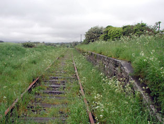 Nobber Railway Stationplatform · 366 yd
 Nobber GreenwayMemorial · 384 yd
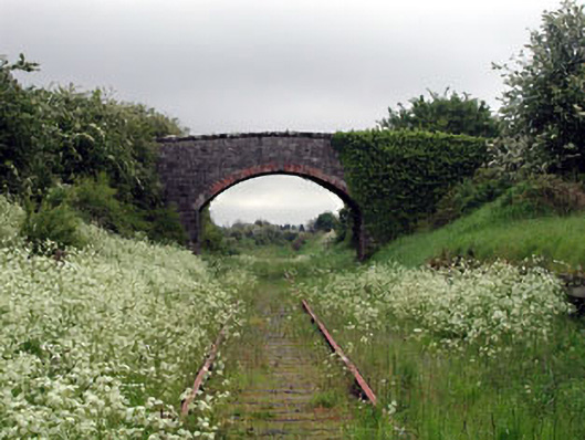 bridgebridge · 411 yd
 Cross in NobberCross · 441 yd
 MoatCastle, motte and bailey · 476 yd
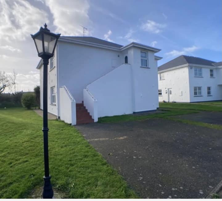 Enclosure in BrittasEnclosure · 550 yd
 Common LimeCommon Lime · 839 yd
 Gallows HillMountain / peak · 1239 yd
 Cherburg WoodForest · 1313 yd
 Ugly HillMountain / peak · 1.6 mi
 Bawn in Robertstown (kells Lower By.)Bawn · 2.5 mi
 Owenroe and Moynalty DrainageMemorial · 3.2 mi