What is recorded here
Hot stones screamed into water three thousand years ago on that shallow slope, filling the air with steam and marking the hollow as a place where people gathered to heat, clean or prepare food. The wooden trough still lies buried beneath the road, its corner posts and plank imprint preserved in dark sandy silt. A long water channel ran east from the basin, carrying heat or waste beyond the dig. The motorway now passes over the site, but the shape of the trough and the date of its charcoal keep the old kitchen alive beneath the modern surface.
Situated on a slight N-facing slope that is in a hollow on an undulating landscape. Archaeological testing (04E0914) by S. Delaney (2005) at Testing Area 13 of Contract 4 of the M3 motorway identified (excavations.ie 2004:1306) a spread of burnt stone material on the N52 Kells link-road that was completely excavated (E003153) by J. Kyle as Newrath Little 3 in March 2007 (excavations.ie 2007:1357). A rectangular trough (dims 2.03m x c. 1.56m; D 0.32m) with a flat base and a posthole at each corner had the imprint of a plank in the base. It was filled with a grey black sandy silt with burnt stone. A sample of alder charcoal from the fill returned a C14 date of 1188-937 cal. BC (UBA 11098). There were four adjacent pits (dims 0.98x 0.53m; D 0.08m to 2.32m x 1.1m; D 0.3m) with fills of burnt mound material but none is likely to have functioned as a trough. A water channel (Wth 0.7m; D 0.29m; L 7.6m plus) begins immediately N of the trough and extends beyond the excavation to the E. None of the burnt mound survives, and the area is cut by an E-W ditch c. 1m S of the trough and by a N-S narrow drain just W of it. (Kyle 2010)
See the attached plan from Kyle (2010, fig. 5)
Compiled by: Michael Moore
Date of upload: 10 March 2022
The monument record does not grant public access. Check the route and ask the landowner before entering private land.
- What survives
- Recorded monument
Places near here
 St. Columbs WellHoly well · 775 yd
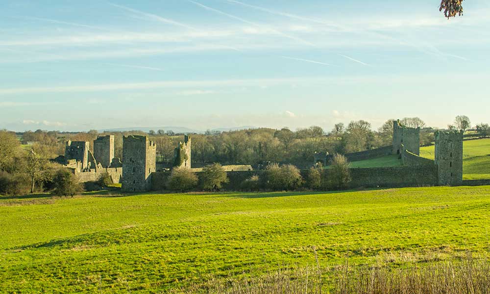 Religious houseReligious house, Augustinian canons · 1083 yd
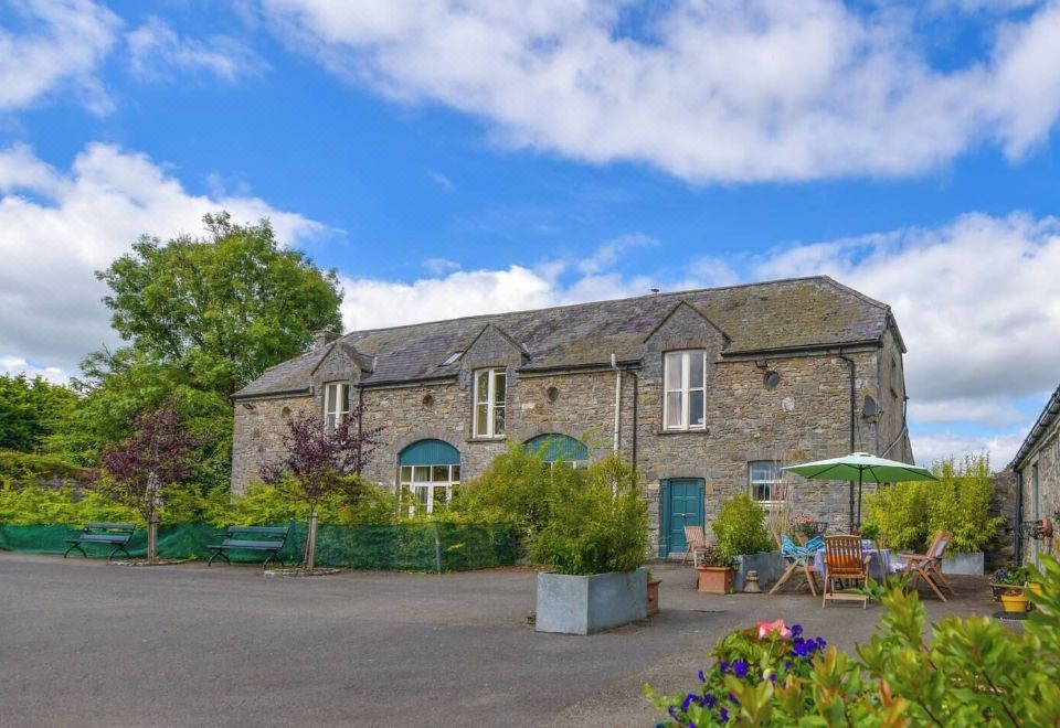 Enclosure in Calliaghstown (kells Upper By.)Enclosure · 1085 yd
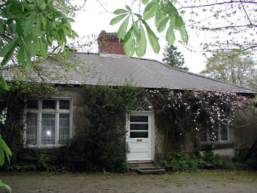 Westfield Cottagehouse · 1114 yd
 James CarolanMemorial · 1269 yd
 The Pauper's CemeteryMemorial · 1271 yd
 Lackmelch RockfieldWood · 1360 yd
 Long WoodForest · 1440 yd
 CastleCastle, unclassified · 1553 yd
 MountainpoleMountain / peak · 1.9 mi
 Castle ruinsCastle · 2.2 mi
 MaperathMountain / peak · 3.0 mi