What is recorded here
On the W bank of a small stream, in flat wet marshy terrain. Two low mounds (dims. c. 8m; H 0.3-05m) composed of stone and blackened soil, with slight depressions at centre identified during ASI fieldwork in 1987. The precise location of this monument within the townland is unknown.
Compiled by: Jean Farrelly
Date of upload: 17 June 2019
The monument record does not grant public access. Check the route and ask the landowner before entering private land.
- What survives
- Recorded monument
Places near here
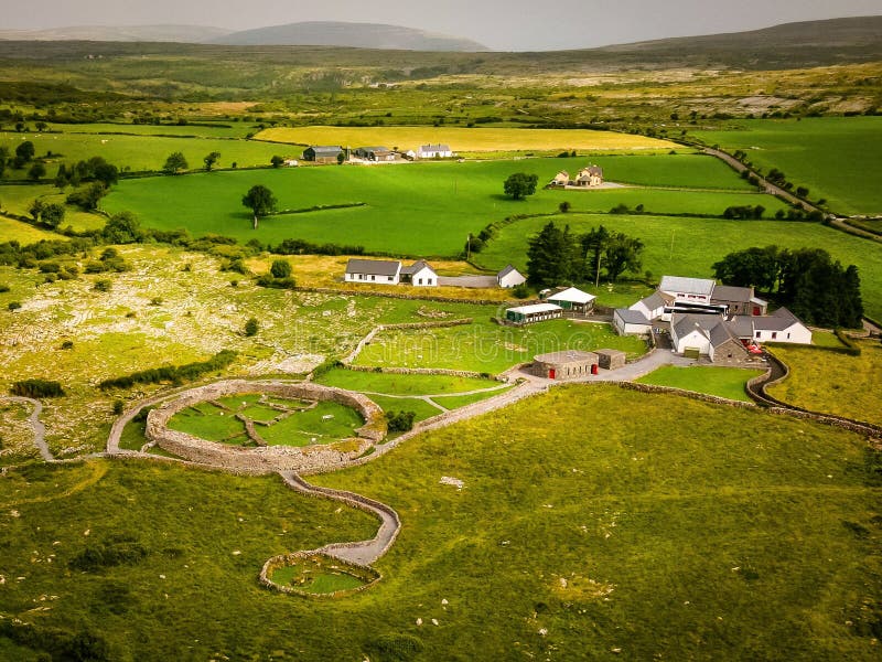 Borrismore Ringfort (Rath)Archaeological place · 604 yd
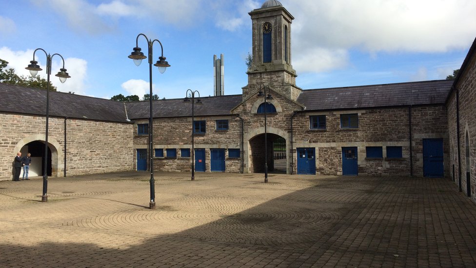 Enclosure in WarrenstownEnclosure · 812 yd
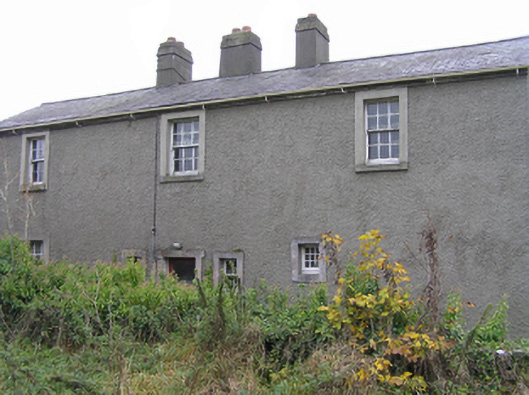 Urlingford Courthousegarda station/constabulary barracks · 945 yd
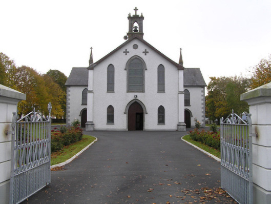 Catholic Church of the Assumptionchurch/chapel · 952 yd
 CastleCastle, tower house · 1181 yd
 TurretBawn · 1206 yd
 John HelyMemorial · 1.6 mi
 DelaneyMemorial · 1.7 mi
 Clomantagh HillMountain / peak · 2.7 mi
 KilcooleyForest · 3.8 mi
 Serpentine WoodForest · 3.9 mi
 Kilcooly AbbeyHeritage attraction · 3.9 mi