What is recorded here
Stand in the green field beside Loughane East where two mounds once rose sixteen metres apart. Men dug six feet into both and found nothing but burnt stone and charcoal, the remains of a fire that raged so long it turned soil to cinder. The standing stones still mark the place, though the exact pits have vanished. Whatever cooked or cleaned or ritually burned there, the earth kept the heat long after the people left.
Caulfield (1866, 293) recorded 'two tumuli rising from the ground, 21 paces apart [i.e. c. 16m]. These were excavated to the depth of 6 feet. The entire substrata was composed of burnt stones and pieces of charcoal'. Exact location of these possible fulachta fiadh is not known but they are in the vicinity of a pair of standing stones (6563).
The above description is derived from the published 'Archaeological Inventory of County Cork. Volume 3: Mid Cork' (Dublin: Stationery Office, 1997). In certain instances the entries have been revised and updated in the light of recent research.
Date of upload/revision: 14 January 2009
The monument record does not grant public access. Check the route and ask the landowner before entering private land.
- What survives
- Recorded monument
Places near here
 Standing StoneArchaeological place · 270 yd
 Fulacht fia in Loughane EastFulacht fia · 654 yd
 Loughane Cottagehouse · 1424 yd
 Church in Killowen (muskerry East By.)Church · 1515 yd
 Castle (in Ruins)Castle, tower house · 1748 yd
 Castle (Site of)Castle, unclassified · 1.9 mi
 BatsVisitor information · 1.9 mi
 Pakie HoganMemorial · 2.0 mi
 Lion RockNamed rock · 2.1 mi
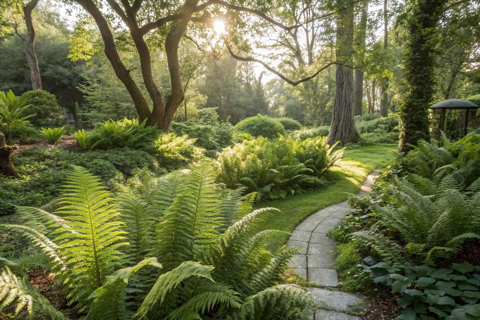 Fern GardenHeritage attraction · 2.2 mi
 Western RedcedarWestern Redcedar · 2.3 mi
 Badgers CaveCave · 2.3 mi