What is recorded here
Water closed the sky, touched hot stone, and lifted into the air above Lough Rea. People may have gathered there to cook, clean, or mark a gift for the lake. The mound still lies shallow under the water, waiting for hands brave enough to remember it.
Located in the NW sector of Lough Rea on what appears to be an earlier shoreline of the lake at a depth of approximately 1.3m. This possible fulacht fia, the most westerly example of two (see also GA105-228001-), was noted during a survey of the nearby crannog (GA105-197----) c. 120m to the SE. It consists of a shallow circular mound (13m E-W and 9m N-S) with a rectangular feature off centre towards its SE. Its appearance suggests that this is possibly a fulacht fia but it may be a hut site (information from K. McDonald).
Compiled by: Olive Alcock
Date of upload: 9 January 2019
The monument record does not grant public access. Check the route and ask the landowner before entering private land.
- What survives
- Recorded monument
Places near here
 Blake's IslandIslet · 134 yd
 Enclosure in St LaurencesfieldsEnclosure · 841 yd
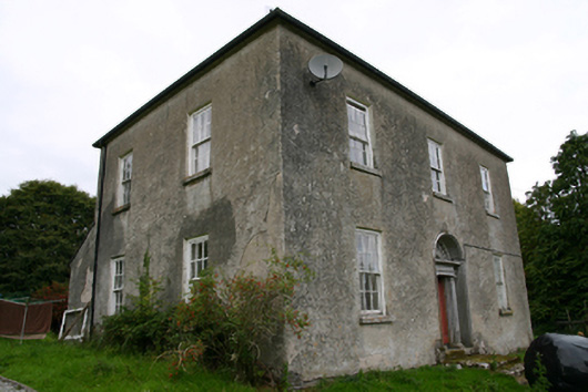 Glenvillecountry house · 1114 yd
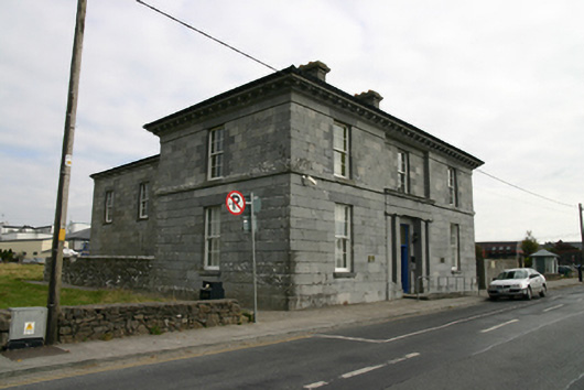 Loughrea Courthousecourt house · 1115 yd
 Barrack IslandIslet · 1136 yd
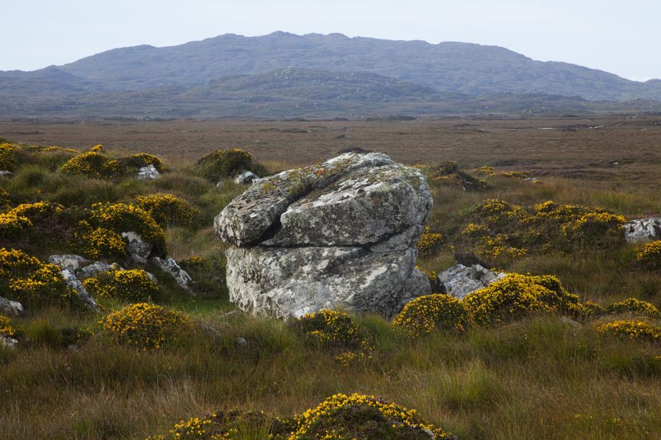 Mass-rock in CosmonaMass-rock · 1375 yd
 Long PointHeadland · 1.2 mi
 Site of Cloonoo CastleCastle, unclassified · 1.3 mi
 Raruddy Castle (in ruins)Castle, tower house · 1.6 mi
 Turoe StoneHeritage attraction · 4.2 mi
 Dartfield Horse MuseumHeritage attraction · 5.0 mi
 Scalpeen RockNamed rock · 5.1 mi