What is recorded here
On the W shore of Levallinree Lough in wet poached ground containing numerous spring wells. Reported as a possible fulacht fia, along with a second possible fulacht fia (MA070-022002-) c. 30m to the S (SMR file). No visible surface trace was found on a recent inspection (Sept. 2025).
Compiled by: Gearóid Conroy
Date of upload: 31-10-2025
The monument record does not grant public access. Check the route and ask the landowner before entering private land.
- What survives
- Recorded monument
Places near here
 Ritual siteRitual site, holy/saint's stone · 415 yd
 Church in Cunnagher SouthChurch · 843 yd
 IndicatedFairy fort / ringfort · 884 yd
 Park Bridgebridge · 1.6 mi
 Castle in RuinsCastle, unclassified · 1.7 mi
 CastleCastle, unclassified · 2.6 mi
 National Museum of Ireland, Country LifeMuseum · 2.6 mi
 Sunken GardenWood · 2.7 mi
 Oak WoodWood · 2.8 mi
 Michael DavittMemorial · 3.5 mi
 FarbreigaMountain / peak · 3.6 mi
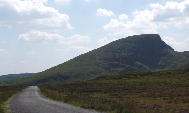 BurrenMountain / peak · 4.7 mi