What is recorded here
Leitra holds two fulacht fia, separate by a hundred metres, because one pot was never enough for the hunger that came down from Castle Lough. The larger mound still carries burnt stone beneath grass, curving like a hand reaching for water, while holly bushes mark its edge as if they had guarded the heat since before memory. A later wall crosses one end, proving people kept returning to the same spot long after the first fire went cold.
In low-lying damp pastureland on the NW side of a small stream which flows SW from Castle Lough. Listed as ‘Fulachta fiadh’ in the RMP (1996) on the basis of a map annotation by Tom Coffey (1994, SMR file), where two fulachtaí fia are marked. This fulacht fia comprises a linear grass-covered mound (10m NNE-SSW; max. 4m WNW-ESE; max. H 0.8m at E; min. H 0.25m at W) of burnt stone and earth which curves NW at its SSW end. There is a large white stone at the centre of the E edge. Holly bushes grow on the NNE edge. A later NE-SW wall overlies the SW end. There is another fulacht fia (CL010-145----) c. 100m to the NW.
Compiled by: Mary Tunney and Conn Herriott
Date of upload: 7 June 2023
The monument record does not grant public access. Check the route and ask the landowner before entering private land.
- What survives
- Recorded monument
Places near here
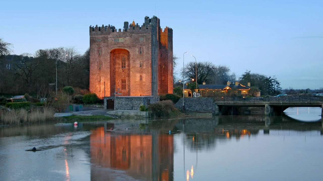 Castle (in ruins)Castle, tower house · 817 yd
 Enclosure in CarrownagoulEnclosure · 1260 yd
 Burren National ParkNature reserve · 1459 yd
 Slieve RoeMountain / peak · 1.3 mi
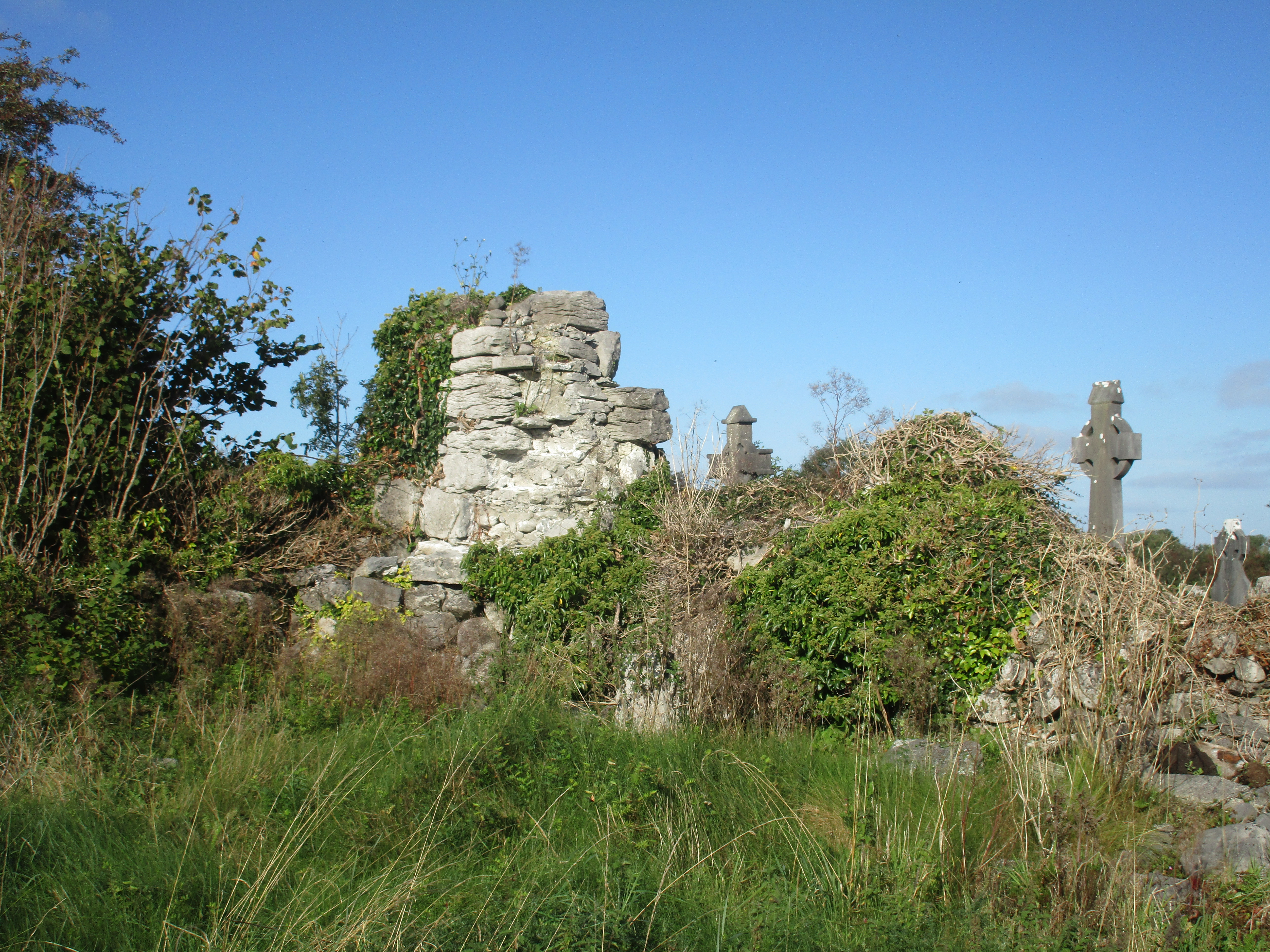 Church (in Ruins)Church · 1.5 mi
 R.C. Chapel (in ruins)Church · 1.6 mi
 Grave YardGraveyard · 1.6 mi
 Mullagh MoreMountain / peak · 1.8 mi
 Glencolumbkille CastleCastle · 1.8 mi
 Kilnaloone GraveyardArchaeological place · 2.1 mi
 Father Ted's HouseHeritage attraction · 2.5 mi
 Grave of Saint Mac Duagh's ServantArchaeological place · 3.8 mi