What is recorded here
Situated in partially cutaway bog towards the eastern end of the extensive peat basin at Park, the mound has been exposed in a recently cut drainage channel running NNW–SSE. Another fulacht fia (MA085-001002-), 18m further to SE, is similarly exposed in both faces of the same channel. A third fulacht fia (MA085-002001-) lies 94.5m to ENE. Some 25m to SW is a small hillock in the centre of the bog and the site is also overlooked by two similar hillocks c. 30m to SE.
The fulacht fia is visible as thin lenses of heat- fractured stone and an abundance of charcoal in both faces of the drainage channel. Exposed in east-north-eastern face of the cutting is a layer of burnt stone and charcoal measuring 8m long (NNW–SSE) and up to 0.25m thick. The top of the layer is c. 0.1–0.25m below present level of the bog. Beneath it there is c. 0.65–0.7m of peat, and below that again is boulder clay. With only one or two exceptions, all the stones in this layer are less than <0.1m in maximum dimension. The charcoal is noticeably concentrated towards the base of the layer. The whole layer peters out gradually at the north-north-eastern end and slightly more abruptly at south-south-western end. At the north-north-eastern end, in the opposite face (WSW) of the cutting, the same layer is also exposed for a distance of 1.7m. From this it can be estimated that the original minimum width of the layer of burnt stone on an ENE–WSW axis was at least 2.7m. Geophysical survey suggested that this monument is a very slight feature, consistent with the visible thinness of the layer of burnt stones (Slater 1993, 49; Slater et al. 1996, fig. 12, no. 67)
The above description is derived from: New Survey of Clare Island. Volume 5: Archaeology. Edited by Paul Gosling, Conleth Manning and John Waddell. (Royal Irish Academy, Dublin. 2007). In certain instances the entries have been revised and updated.
Date of upload: 29 November 2018
The monument record does not grant public access. Check the route and ask the landowner before entering private land.
- What survives
- Recorded monument
Places near here
 Clare IslandIsland · 621 yd
 ScalpatruceMountain / peak · 676 yd
 Mass-rock in Ballytoohy MoreMass-rock · 1475 yd
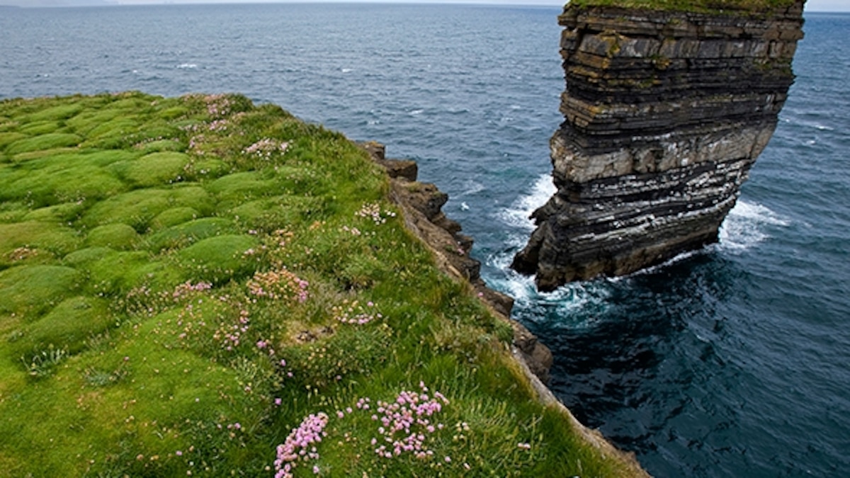 Enclosure in Ballytoohy MoreEnclosure · 1679 yd
 Penitential station in StrakePenitential station · 1681 yd
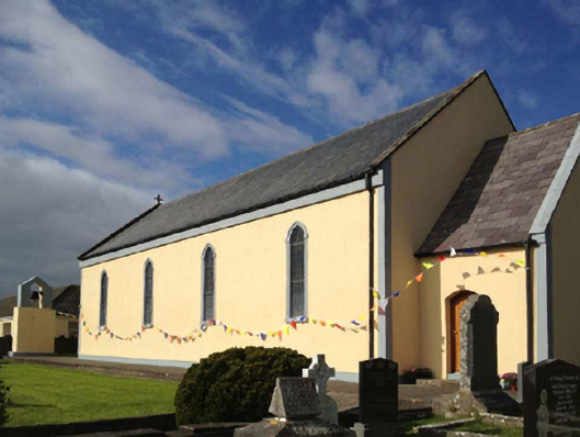 Catholic Church of the Sacred Heartchurch/chapel · 1749 yd
 KnockmoreMountain / peak · 1.3 mi
 Granuaile's CastleCastle · 1.7 mi
 Acaill BheagIsland · 4.2 mi
 Turloughbeg StrandBeach / strand · 4.9 mi
 Kildavnet CastleCastle, tower house · 5.4 mi
 Caisle án GhráinneHeritage attraction · 5.4 mi