What is recorded here
Knockaunakill holds a broken limestone mound beside a NW-flowing stream, its black soil still crowded with charcoal from repeated fires. The shallow central depression marks the lost trough where water was heated, likely for cooking, cleaning or craft, while the nearby rath suggests the site remained part of a lived landscape rather than a forgotten heap. In that wet edge of Mayo, heat and water would have risen together, turning an ordinary bank into a place of useful noise and human presence.
In pasture, located on the SE bank of a NW-flowing stream. The stream borders a broad expanse of bog which stretches to N and E. Ground rising gently to W and SW.
A subsircular mound (15.2m NW–SE; 12m NE–SW; H 0.6m) composed of shattered limestone fragments in a matrix of black, charcoal-rich soil. The mound is slightly indented on the SW side, and has a shallow central depression (diam. c. 3m), probably indicating the position of the trough. It is bordered on the NE side by the scarp of the stream gully, with a drop of c. 1.4-1.5m from top of the mound to the base of the stream. There is a rath (MA091-018----) c. 100m to W.
Compiled by: Jane O’Shaughnessy
Date of upload: 9 February 2022
The monument record does not grant public access. Check the route and ask the landowner before entering private land.
- What survives
- Recorded monument
Places near here
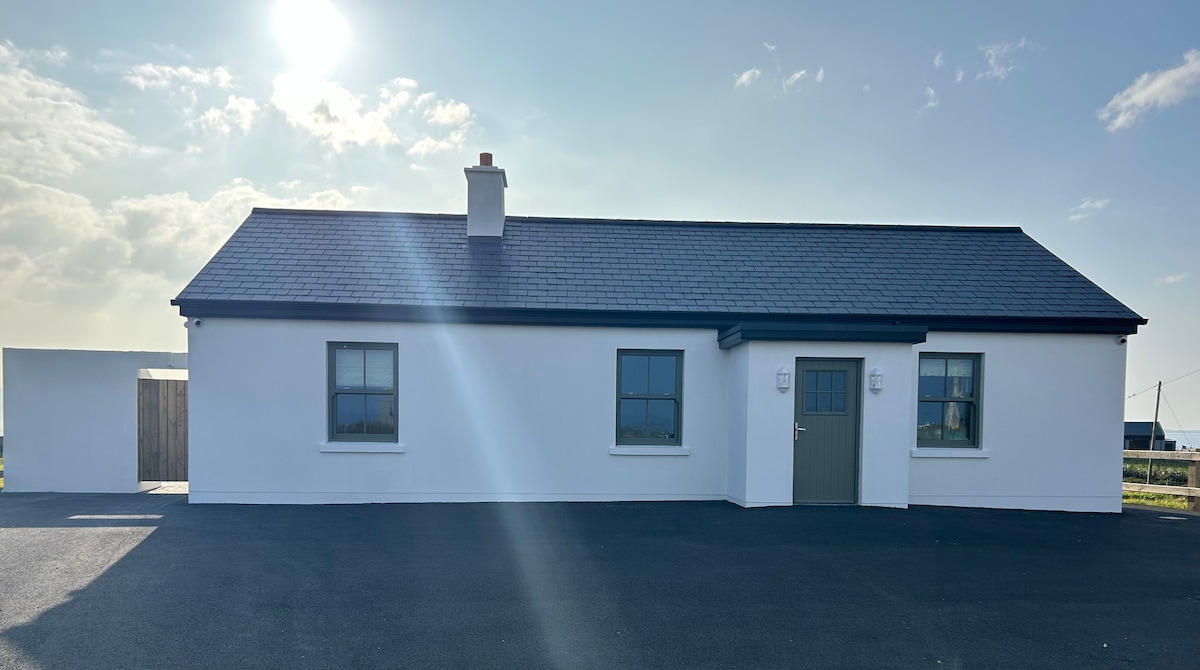 Bawn in KnockaunakillBawn · 419 yd
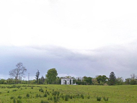 Cloonboy Housefarm house · 981 yd
 IndicatedEnclosure · 1061 yd
 Enclosure in BreesEnclosure · 1696 yd
 CastleCastle, Anglo-Norman masonry castle · 1.0 mi
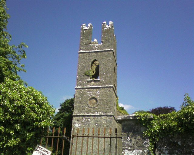 Mayo Church (Mayo)church/chapel · 1.7 mi
 Land of the GiantsHeritage attraction · 4.3 mi
 Geoffrey's WoodForest · 6.1 mi
 Oak WoodForest · 6.4 mi
 Cow IslandIslet · 9.1 mi
 Crane IslandIslet · 9.2 mi
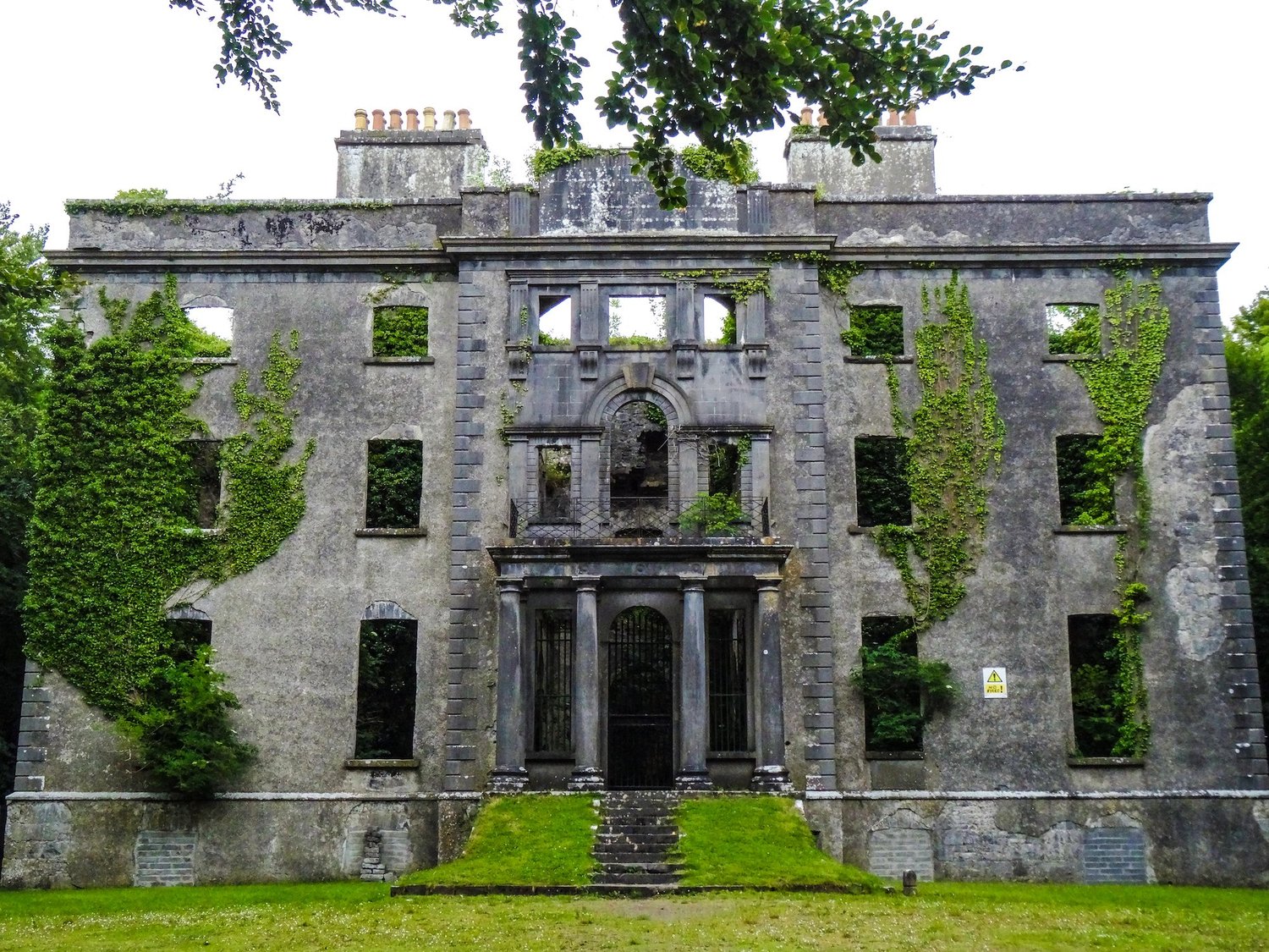 Enclosure in An Goirtín MórEnclosure · 1.5 mi