What is recorded here
In wet rough pasture, at the base of a ridge. A low horseshoe-shaped grass-covered mound (8.5 NW-SE; 8.5m NE-SW; H 0.5m) of heat-shattered stones and dark soil; the opening (5m NE-SW; 4m NW-SE) faces SW. A second fulacht fia (SL034-243002-) lies c. 16m to N.
The above description is derived from the published 'Archaeological Inventory of County Sligo' compiled by Ursula Egan, Elizabeth Byrne, Mary Sleeman with Sheila Ronan and Connie Murphy (Dublin Stationery Office, 2005).
Date of upload: 18 January 2008
The monument record does not grant public access. Check the route and ask the landowner before entering private land.
- What survives
- Recorded monument
Places near here
 LisnamuckFairy fort / earthen ringfort · 420 yd
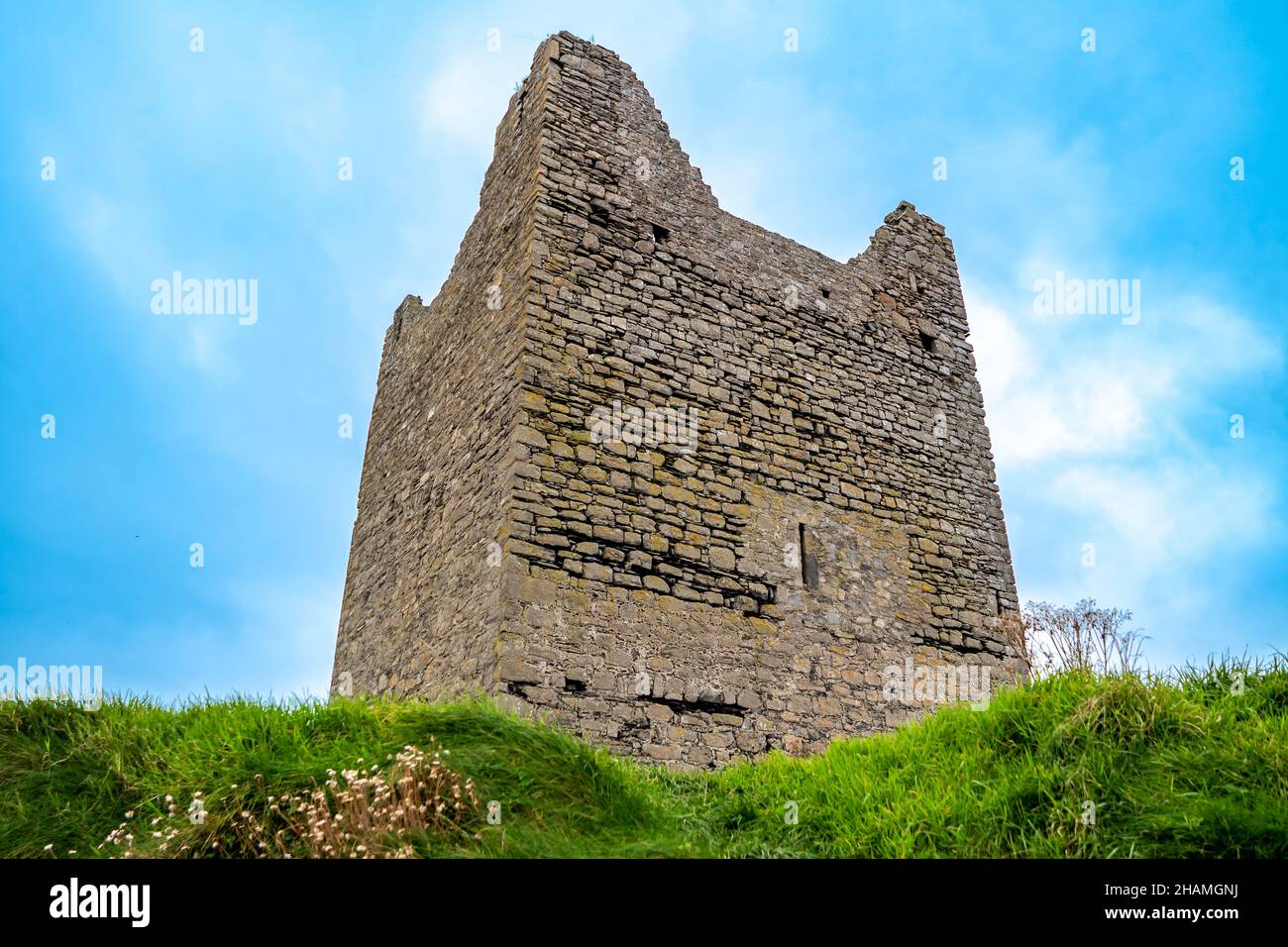 Knockalassa FortFairy fort / earthen ringfort · 802 yd
 Behy Castle (in Ruins)Castle, tower house · 1.1 mi
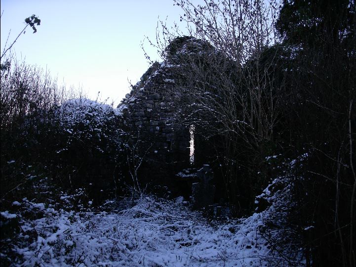 Church (in Ruins)Church · 1.3 mi
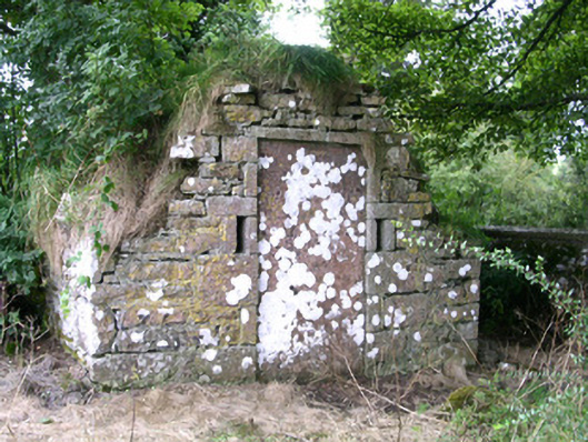 mausoleummausoleum · 1.3 mi
 Riverstown Folk ParkHeritage attraction · 1.3 mi
 Castle Douglas (Site of)Castle, unclassified · 1.9 mi
 James MorrisonMemorial · 2.2 mi
 School CaveCave · 3.1 mi
 Kesh CorannMountain / peak · 3.6 mi
 Caves of KeshCave · 4.0 mi
 Treanscrabbagh caveCave · 4.0 mi