What is recorded here
This monument reported to ASI by Alan Hawkes, UCC. He describes it as: 'on a gentle north-facing slope overlooking the Owenboy estuary. Circular spread of burnt material in recently ploughed field. It measured 10.4m N/S by 9.2m E/W. A spring lies 20m to the west of the spread.'
Compiled by: Denis Power
Date of upload: 8 May 2013
The monument record does not grant public access. Check the route and ask the landowner before entering private land.
- What survives
- Recorded monument
Places near here
 Fulacht fia in KilnagleryFulacht fia · 430 yd
 The Dandy Bridgebridge · 692 yd
 IndicatedFairy fort / earthen ringfort · 959 yd
 Bayviewhouse · 1012 yd
 Cogan's CastleCastle · 1255 yd
 Castle (in Ruins)Castle, tower house · 1.5 mi
 Coolmore WoodWood · 1.7 mi
 Fountainstown BeachBeach / strand · 3.4 mi
 Pauper's GraveyardArchaeological place · 3.6 mi
 Myrtleville BeachBeach / strand · 3.7 mi
 Mulcon ValleyWood · 4.6 mi
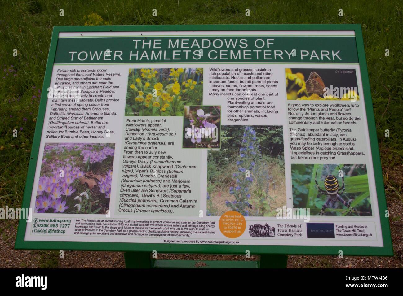 Wildlife and plant information boardsVisitor information · 5.3 mi