What is recorded here
On low-lying recently drained marshy ground, c. 25m to the E of a small stream. Marked as a circular mound (diam. < c. 10m) on the 1920 edition of the OS 6-inch map. According to the landowner, there was formerly a low and grass-covered mound here and it was known as a cooking place. Burnt stone and cinders were visible when it was being cleared away. No visible surface trace survives. Possibly a fulacht fia.
Compiled by: Galway Archaeological Survey, UCG
Date of upload: 25 November 2019
The monument record does not grant public access. Check the route and ask the landowner before entering private land.
- What survives
- Recorded monument
Places near here
 ToberemonHoly well · 107 yd
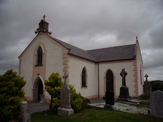 Saint Dympna's Catholic Churchchurch/chapel · 330 yd
 St. Dimas Church (in ruins)Church · 336 yd
 Ritual siteRitual site, holy tree/bush · 337 yd
 Island McCooIslet · 1.2 mi
 Stone Islands SouthIslet · 1.3 mi
 Long PointHeadland · 1.4 mi
 Site of CastleCastle, unclassified · 2.0 mi
 CastleCastle, tower house · 3.1 mi
 Scalpeen RockNamed rock · 3.6 mi
 KnockapollboyMountain / peak · 5.3 mi
 Derrybrien Bog SlideHeritage attraction · 5.5 mi