
What is recorded here
Half a metre of fire-cracked stone still warm in memory, buried under pasture and pipeline works. A Bronze Age kitchen or bath, perhaps, where water boiled and flesh cooked or cleanliness was made sacred. The trough remains whole, its layers recording repeated use, while the surrounding mound has been cut and scattered. Kilfinny keeps its heat beneath ordinary ground, waiting for someone to listen for the steam.
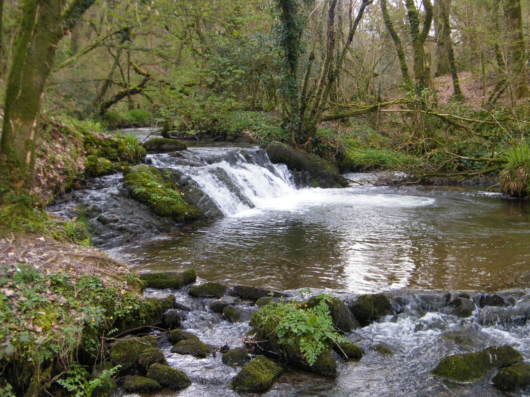
This site was excavated by Graham Hull (02E0581) as part of Bord Gáis Éireann's Pipeline to the West. 'It lay on generally flat pasture, with a rectified stream immediately to the south-east. Very thin patches of fire-cracked stone were observed across a hand-cleaned area of c. 20m by 20m. These patches were probably remnants of a formerly more substantial stone spread. The stream clearly cut the deposits of burnt stone, and modern agricultural activity has possibly further damaged what may have been a larger monument. Indeed, a section of the western baulk of the machined spread revealed a layer of burnt stone, 0.2m thick. The topsoil-stripping before construction of the pipeline may have substantially damaged the burnt mound.
A single trough filled with laminated deposits of burnt stone and charcoal-rich soil was positioned centrally in the examined area. This feature was oval, measuring 2.05m north-east/south west by 1.6m. In profile the trough was bowl shaped, with gently sloping sides coming down to a flattish base, 0.45m deep. Five fills were observed. The primary fill was a light grey silt, 0.09m thick, with an ashy texture. The second fill was a dark grey/black, silty clay that included 45-55% burnt limestone pieces and was 0.16-0.22m thick. The third fill was a dark brown/black, peaty deposit, 0.09m thick. Above this was a thin (0.03m) deposit of burnt stone, probably derived from the presumed modern agricultural disturbance. Topsoil, 0.24m thick, was the final fill of the trough. Three artefacts were recovered from the vicinity of the trough. Two flint flakes were found in the disturbed burnt stone deposits, and a piece of bottle glass was retrieved from the final topsoil fill of the trough. Soil samples of the primary and secondary fills of the trough were taken for charcoal recovery and possible species identification and radiocarbon dating. The site represented part of a damaged fulacht fiadh and an associated and undamaged trough. These archaeological deposits are likely to be Bronze Age, and the stratified deposits found in the trough may facilitate the refining of the monument chronology. The two flint flakes add to the small corpus of artefactual material recovered in conjunction with fulachta fiadh.' The above description is posted on the web at the following internet address: http://www.excavations.ie/ (accessed 22 August 2012).
Compiled by: Denis Power
Date of upload: 22 August 2012
The monument record does not grant public access. Check the route and ask the landowner before entering private land.
- What survives
- Recorded monument
Places near here
 Fulacht fia in KilfinnyFulacht fia · 120 yd
 Kilfinny CastleCastle · 427 yd
 Ballynakill Housecountry house · 523 yd
 St. Kierans WellHoly well · 561 yd
 Kinnoor WellSpring · 578 yd
 KilnKiln, lime · 648 yd
 CastleCastle, unclassified · 1723 yd
 Dysert AenghusaHeritage attraction · 2.0 mi
 Flat cemetery in Kiltenan SouthFlat cemetery · 2.1 mi
 KnockfeerinaMountain / peak · 2.6 mi
 Famine stoneMemorial · 2.8 mi
 Biodiversity in the Maigue CatchmentVisitor information · 3.0 mi
Other information
Photo: Credit not shown in the picture search · Rights wording not checked; contact us if this picture should be removed