What is recorded here
This severely truncated feature is located c. 45m E of the enclosure (ME044-060----) and consists of a thin spread (dims 13.95m N-S; 2.10m E-W; T 0.16m) of broken and burnt stone in two distinct layers that was truncated by a NNE-SSW field bank on its E side. To its W is a fairly confined area (dims c. 20m N-S; 13m E-W) with 21 pits and 14 post-holes on the N side of a large quarry or water-hole (dims 7.88m x 5.16m; D 0.52m) that has a step and a metaled surface at its E side. It was filled with clayey silts with decayed stone, charcoal and iron flecks. A C14 date of 997-816 cal. BC was returned for a sample from its lowest fill. The S end of the pit cut through a smaller but deeper pit (dims 2.32m x 2.21m; D 1.56m), from which a quantity of unworked wood and seeds of thistle, chickweed, hazel, blackthorn, raspberry and elder were recorded together with a single flax seed, the only cultivated plant. A C14 date of 1408-1132 cal. BC was returned for a sample from this pit. The large water-hole was itself cut by three smaller pits and a piece of burnt bone from the top fill of the final pit yielded a radiocarbon determination of 401-206 cal. BC. A rectangular trough (dims 2.14m x 1.31m; D 0.18m) with six stake-holes and a post-hole in its base was 2m N of the water-hole, and this was filled with a thin layer of silt beneath a layer of dark grey, clayey sand with clay and charcoal flecks. (Elder and Ginn 2009, P 16-17)
See the attached plan from Elder and Ginn 2009)
Compiled by: Michael Moore
Date of upload: 9 December 2021
The monument record does not grant public access. Check the route and ask the landowner before entering private land.
- What survives
- Recorded monument
Places near here
 Enclosure in Johnstown (ratoath By., Dunshaughlin Par.)Enclosure · 113 yd
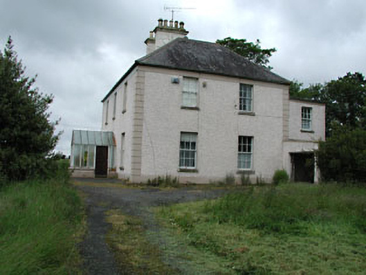 Seachnall Housefarm house · 1036 yd
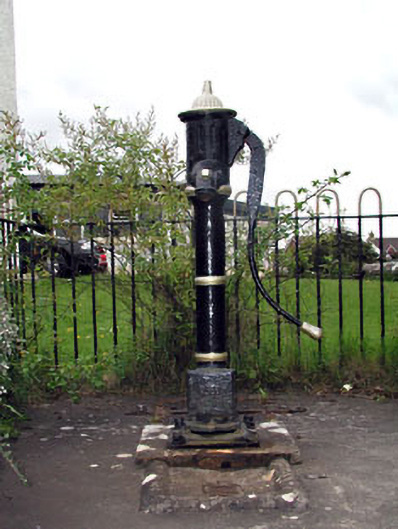 water pumpwater pump · 1324 yd
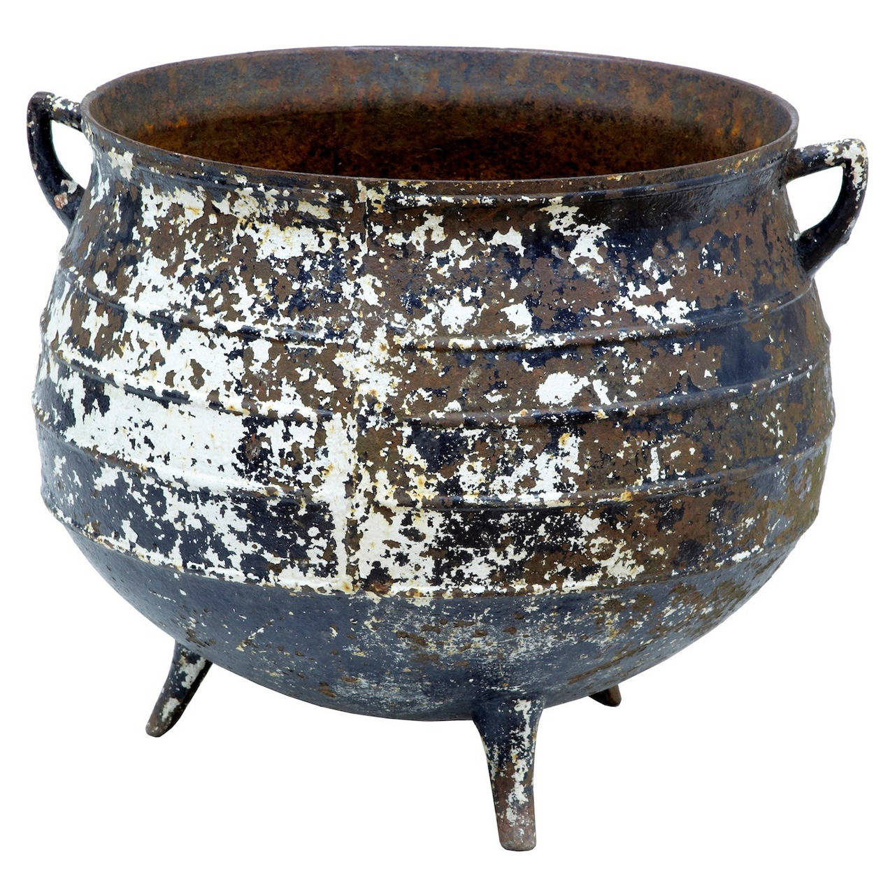 Famine PotMonument · 1324 yd
 Killeen CastleCastle, tower house · 2.8 mi
 Lismahon 1798 MemorialMonument · 2.8 mi
 Dunsany CastleCastle, unclassified · 3.6 mi
 Dunsany WoodWood · 3.6 mi
 Laurel WoodsWood · 3.6 mi
 1798 MemorialMemorial · 4.5 mi
 MullaghMountain / peak · 4.6 mi
 Emerald ParkHeritage attraction · 4.9 mi