What is recorded here
In a marshy field on the edge of wetlands to the W. Excavated in 2006 in advance of the M8/N8 Cullahill to Cashel Road Improvement Scheme (Excavation licence no. E2387). A mound (15.5m E-W; 17m N-S; D 0.37m) of compact sandy silt with frequent charcoal and heat-shattered stone. It overlay three small pits filled by similar silt, charcoal and heat affected stone. A sample of charcoal from the mound returned a radiocarbon date of 1670-1490 cal BC (Poz-23536). (Hardy 2009, 266-7, no. 1040; Hardy and Green 2009)
Compiled by: Mary Tunney
Date of upload: 15 October 2013
The monument record does not grant public access. Check the route and ask the landowner before entering private land.
- What survives
- Recorded monument
Places near here
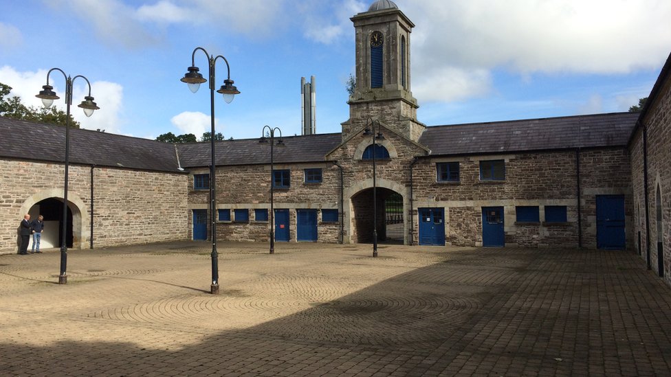 Enclosure in WarrenstownEnclosure · 1064 yd
 Urlingford Church (in ruins)Church · 1342 yd
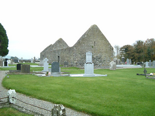 graveyard/cemeterygraveyard/cemetery · 1352 yd
 CastleCastle, tower house · 1426 yd
 TurretBawn · 1449 yd
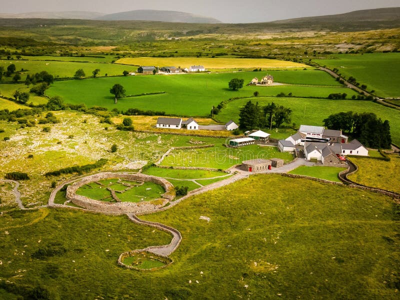 Borrismore Ringfort (Rath)Archaeological place · 1454 yd
 John HelyMemorial · 1.4 mi
 DelaneyMemorial · 1.4 mi
 Clomantagh HillMountain / peak · 3.0 mi
 KilcooleyForest · 4.4 mi
 Street fieldArchaeological place · 4.5 mi
 Kilcooly AbbeyHeritage attraction · 4.5 mi