What is recorded here
In a marshy field on the edge of wetlands and the river Goul to the E. Excavated in 2006 in advance of the M8/N8 Cullahill to Cashel Road Improvement Scheme (Excavation licence no. E2386). A mound (L 24m; Wth 14.5m; D 0.06-0.6m) of loose clayey sand with frequent charcoal and heat-shattered stone. Two troughs and five pits were recorded beneath the mound. Timbers below the mound returned a radiocarbon date of 2120-1880 cal BC (Poz-24995). A possible platform within the upper levels returned a date of 1130-910 cal BC indicating a second phase of activity. A leaf-shaped flint arrowhead was recovered from the topsoil in proximity to the mound. (Hardy 2009, 266, no. 1039; Hardy and Green 2009)
Compiled by: Mary Tunney
Date of upload: 15 October 2013
The monument record does not grant public access. Check the route and ask the landowner before entering private land.
- What survives
- Recorded monument
Places near here
 Urlingford Church (in ruins)Church · 663 yd
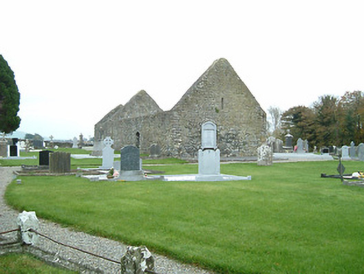 graveyard/cemeterygraveyard/cemetery · 673 yd
 CastleCastle, tower house · 748 yd
 TurretBawn · 770 yd
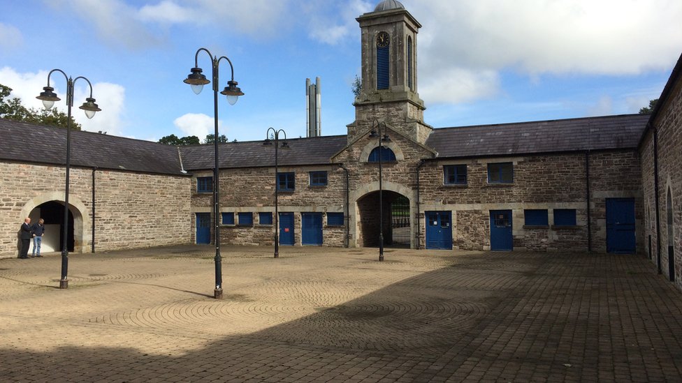 Enclosure in WarrenstownEnclosure · 1345 yd
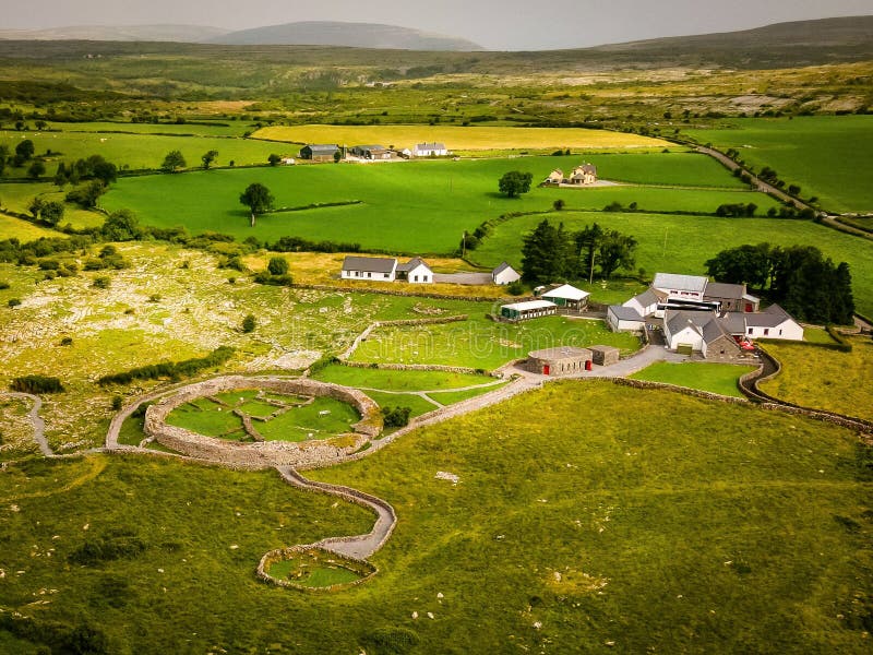 Borrismore Ringfort (Rath)Archaeological place · 1498 yd
 John HelyMemorial · 1.7 mi
 DelaneyMemorial · 1.8 mi
 Clomantagh HillMountain / peak · 3.2 mi
 KilcooleyForest · 4.0 mi
 Kilcooly AbbeyHeritage attraction · 4.1 mi
 Serpentine WoodForest · 4.2 mi