What is recorded here
In tillage, on N-facing slope. According to local information, spread of burnt material was noted here. No visible surface trace.
The above description is derived from the published 'Archaeological Inventory of County Cork. Volume 2: East and South Cork' (Dublin: Stationery Office, 1994). In certain instances the entries have been revised and updated in the light of recent research.
Date of upload/revision: 14 January 2009
The monument record does not grant public access. Check the route and ask the landowner before entering private land.
- What survives
- Recorded monument
Places near here
 Slab-lined burial in HoddersfieldSlab-lined burial · 462 yd
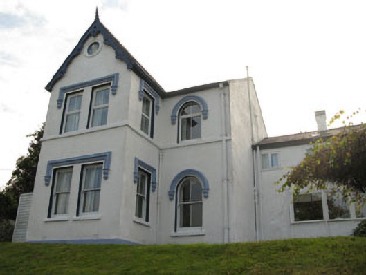 Ardnalee Househouse · 576 yd
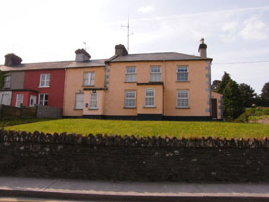 Crosshaven Garda Stationcoastguard station · 736 yd
 Crosshaven Tourist OfficeVisitor information · 1314 yd
 Coolmore WoodWood · 1461 yd
 William Warren Baldwin plaqueMemorial · 1530 yd
 Curraghbinny WoodsForest · 1546 yd
 The Giant's GraveMonument · 1612 yd
 Castle (Site of)Castle, unclassified · 1663 yd
 St Bridgets WellHoly well · 1.0 mi
 Castle (in Ruins)Castle, tower house · 1.1 mi
 Fennells Bay beachBeach / strand · 1.5 mi