What is recorded here
A thin deposit of burnt material, oval in plan (9m N-S; 4.2m E-W; max. D 0.26m) was identified during monitoring of ground disturbance work associated with the development of a holiday-home complex in 2000-2001 (Dennehy 2003b, 158, Site 2) (Dennehy 2003c, 158, Site 2). Excavation revealed two troughs, one of which was at least partially wood-lined, and associated pot-boilers (ibid.). Trough 1 (1.67m N-S; 1.56m E-W; max. D 0.65m) was circular in plan and had been recut and used for metal smelting while Trough 2 (1.67m x 1.3m; max. D 0.36m) was subcircular in plan (ibid.). Another fulacht fia (KE066-036005-) lies c. 50m to the NW.
Compiled by: Elizabeth Byrne, Ursula Egan and Sheila Ronan, Archaeological Survey Unit, University College, Cork.
Date of upload: 31 January 2011
The monument record does not grant public access. Check the route and ask the landowner before entering private land.
- What survives
- Recorded monument
Places near here
 Fulachta fianBurnt spread · 85 yd
 Fulacht FianFulacht fia · 249 yd
 RoadRoad, road/trackway · 380 yd
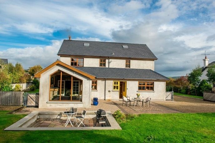 Coolgarriv HouseCountry house · 775 yd
 Famine MemorialMemorial · 1618 yd
 Aghadoe Early Medieval Ecclesiastical SiteHeritage attraction · 1.1 mi
 Parkavonear CastleCastle · 1.1 mi
 Circular WalkWalking route · 1.1 mi
 GinkgoGinkgo · 1.2 mi
 Giant SequoiaGiant Sequoia · 1.3 mi
 Kerry 2nd Brigade of the Irish Republican ArmyMemorial · 1.3 mi
 Jaunting ToursHeritage attraction · 1.6 mi