What is recorded here
Located in a level landscape. A spread of charcoal and burn stone (L 6.05m; Wth 1.4m; max. T 0.3m) came to light in digging a drainage trench. (Bradley and Brady 1985-6)
Compiled by: Michael Moore
Date of revised upload: 10 April 2019
The monument record does not grant public access. Check the route and ask the landowner before entering private land.
- What survives
- Recorded monument
Places near here
 Church (Site of)Church · 549 yd
 BalreaskMountain / peak · 1189 yd
 Gravelstown CastleCastle, unclassified · 1.0 mi
 Rossmeen WoodWood · 1.1 mi
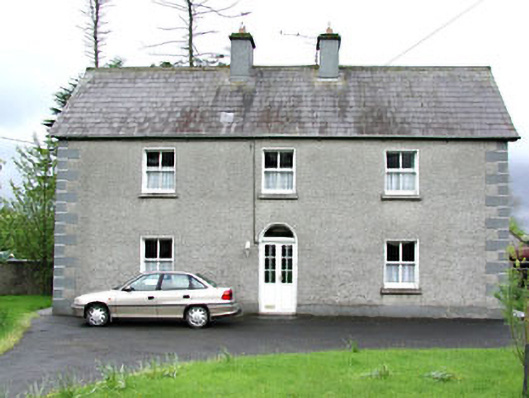 Reask Housefarm house · 1.1 mi
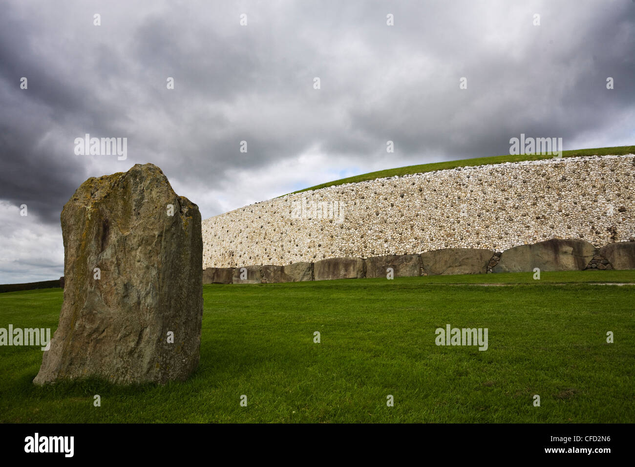 MoundArchaeological place · 1.1 mi
 Oak WoodWood · 1.2 mi
 John Mac MahonMemorial · 1.2 mi
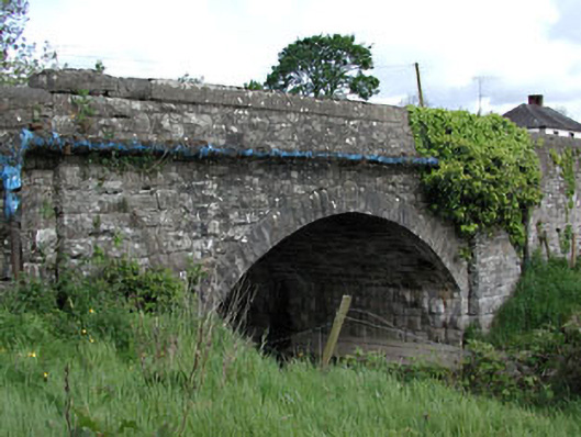 bridgebridge · 1.2 mi
 GravelstownMountain / peak · 1.2 mi
 CastleCastle, ringwork · 1.9 mi
 Owenroe and Moynalty DrainageMemorial · 2.6 mi