What is recorded here
In trees and rough grazing near the W shore of Coolreash Lough in an area marked ‘Liable to Floods’ on OS mapping. Not listed separately in the RMP (1996) but referred to as one of two ‘Fulachta fiadh’ (along with CL010-171----) identified in a 1994 map annotation by Tom Coffey (SMR file). This fulacht fia comprises a large, irregularly shaped mound (17m NW-SE; min. 7m NE-SW; H 0.6m) of burnt stone, with a later field wall overlying the W and S edges. Two spreads of burnt stone are visible nearby; one 4m and the second 25m to the NW. This is one of four fulachtaí fia in this area: CL010-171003- c. 65m to the NNW, CL010-171---- c. 65m to the S and CL010-172---- c. 140m to the SSW. The monuments are roughly equidistant, averaging c. 65-70m apart.
Compiled by: Gearóid Conroy and Conn Herriott
Date of upload: 13 June 2023
The monument record does not grant public access. Check the route and ask the landowner before entering private land.
- What survives
- Recorded monument
Places near here
 Enclosure in GortleckaEnclosure · 886 yd
 Fairy fort / stone ringfort in Aglish,gortleckaFairy fort / stone ringfort · 960 yd
 Mullagh MoreMountain / peak · 1115 yd
 Slieve RoeMountain / peak · 1.1 mi
 Correen R.C. Chapel (in ruins)Church · 1.5 mi
 Glenquin Housefarm house · 1.5 mi
 Father Ted's HouseHeritage attraction · 1.5 mi
 Burren National ParkVisitor information · 1.6 mi
 Castle (in ruins)Castle, unclassified · 1.7 mi
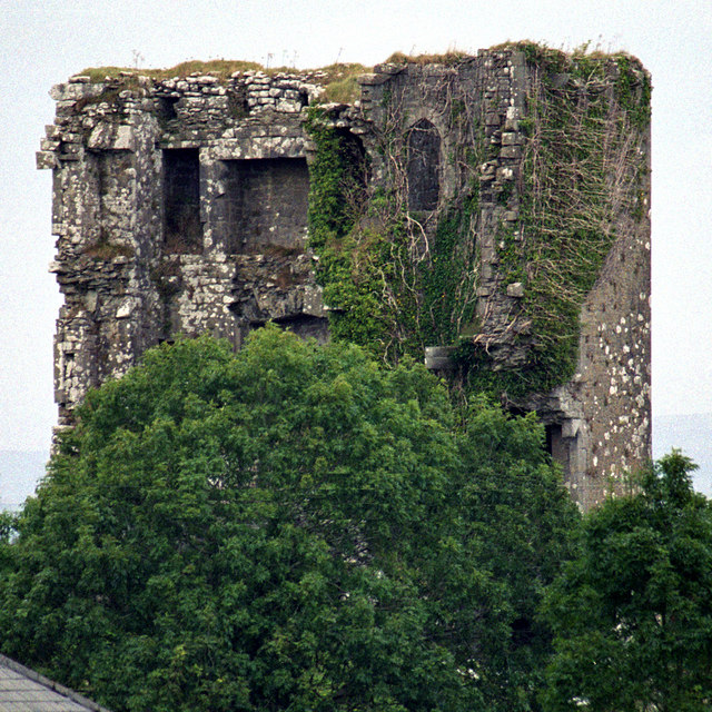 Kilkeedy Castle (in ruins)Castle, tower house · 2.6 mi
 Battle of TullyodeaBattlefield · 4.3 mi
 Rock IslandIsland · 4.6 mi