What is recorded here
To N of a small E-flowing stream on low-lying level pastureland from which a low but steep-sided ridge rises to S. A low, oval, grass-covered mound of burnt stone (11.4m E–W; 8.2m N–S; H max. 0.5m) with no obvious trough area. It is truncated at the W end by a roadside wall and a N–S depression across the centre caused by livestock reveals its composition. Stones from field clearance have been dumped on its W end.
There are three more fulachtaí fia (CL006-081002-, CL006-081003- and CL006-081004-) across the adjacent stream between 5 and 20m away.
Compiled by: Mary Tunney and Ros Ó Maoldúin
Date of upload: 29 September 2021
The monument record does not grant public access. Check the route and ask the landowner before entering private land.
- What survives
- Recorded monument
Places near here
 IndicatedEnclosure · 227 yd
 Concentric enclosure in Deelin MoreConcentric enclosure · 650 yd
 Turlough CastleArchaeological place · 1673 yd
 Castle Mael (in ruins)Castle, unclassified · 1.2 mi
 PoulnabroneMemorial · 2.5 mi
 Saint Columba's Catholic Churchchurch/chapel · 2.8 mi
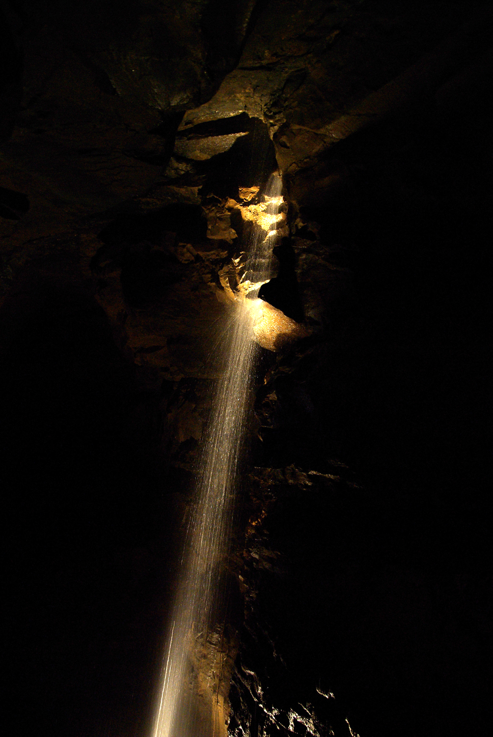 Aillwee CaveCave · 2.8 mi
 Aillwee Cave Visitor Centreheritage centre/interpretative centre · 2.8 mi
 Bird Of Prey CentreHeritage attraction · 3.0 mi
 Gleninshing portal tombHeritage attraction · 3.1 mi
 The Portal TombVisitor information · 3.3 mi
 Poulnabrone - Burren GeositeVisitor information · 3.4 mi