What is recorded here
On level, formerly marshy, ground at the SE end of a N-S ridge with a stream, deepened to form a drain 2m to the S. A low horseshoe-shaped mound (diam. 10m E-W; 8m N-S;H 0.4m) of burnt stone and ash with a depression (2m N-S; 2m E-W) at S, probably representing a trough. Two other fulachta fia (KK005-099---- and KK005-101----) lie 8m to the SW and 8m to the NE respectively.
Compiled by: Mary Tunney
Date of upload: 24 June 2013
The monument record does not grant public access. Check the route and ask the landowner before entering private land.
- What survives
- Recorded monument
Places near here
 CastleCastle, unclassified · 430 yd
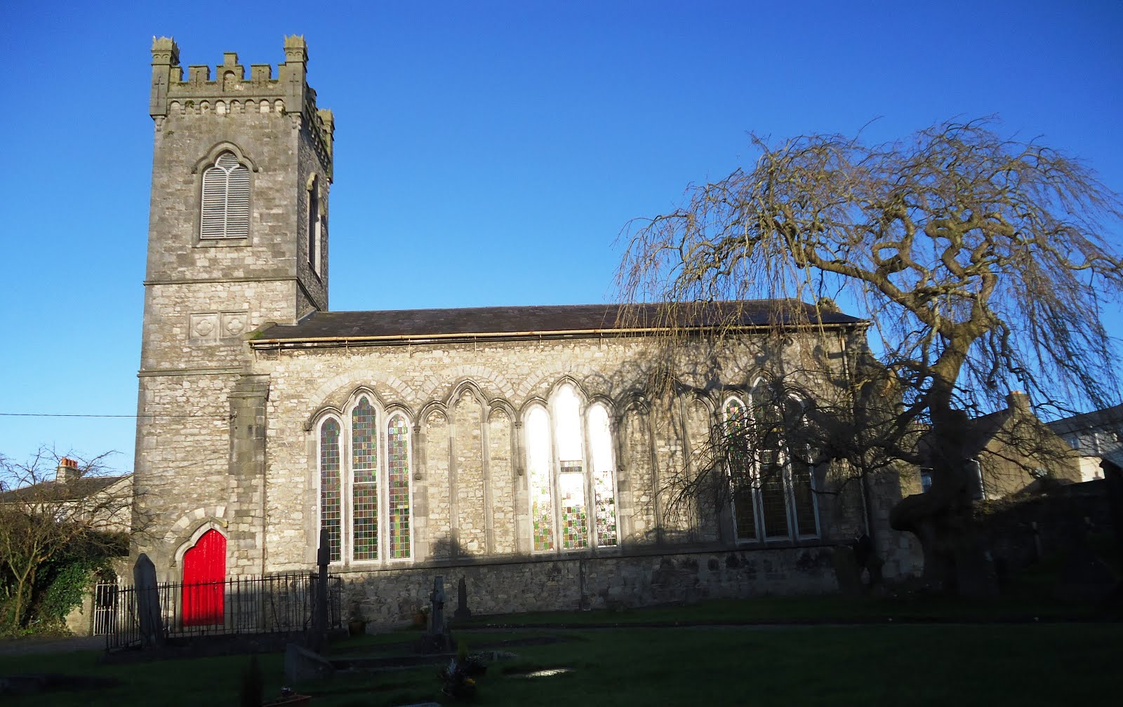 Church in Kiltown (fassadinin By.)Church · 1462 yd
 IndicatedEnclosure · 1702 yd
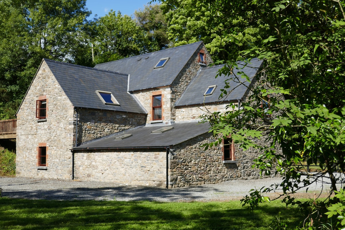 Enclosure in ByrnesgroveEnclosure · 1.1 mi
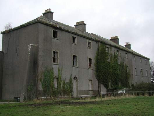 Castlecomer Barrackbarracks · 1.2 mi
 Creamery HouseMemorial · 1.4 mi
 1798Memorial · 1.6 mi
 Ardra LoopWalking route · 1.7 mi
 Castlecomer Discovery ParkHeritage attraction · 1.7 mi
 The GarrisonCastle, motte · 1.7 mi
 European BeechEuropean Beech · 1.7 mi
 Footprints In CoalMuseum · 1.7 mi