What is recorded here
In rough grazing, on gentle E-facing slope. Grass-covered spread of burnt material.
The above description is derived from the published 'Archaeological Inventory of County Cork. Volume 3: Mid Cork' (Dublin: Stationery Office, 1997). In certain instances the entries have been revised and updated in the light of recent research.
Date of upload/revision: 14 January 2009
The monument record does not grant public access. Check the route and ask the landowner before entering private land.
- What survives
- Recorded monument
Places near here
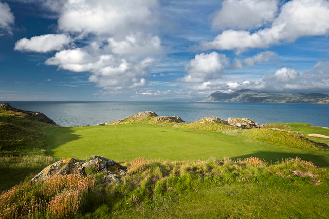 Fulacht fia in GlenleighFulacht fia · 67 yd
 KilnKiln, lime · 672 yd
 LissaniskaFairy fort / earthen ringfort · 937 yd
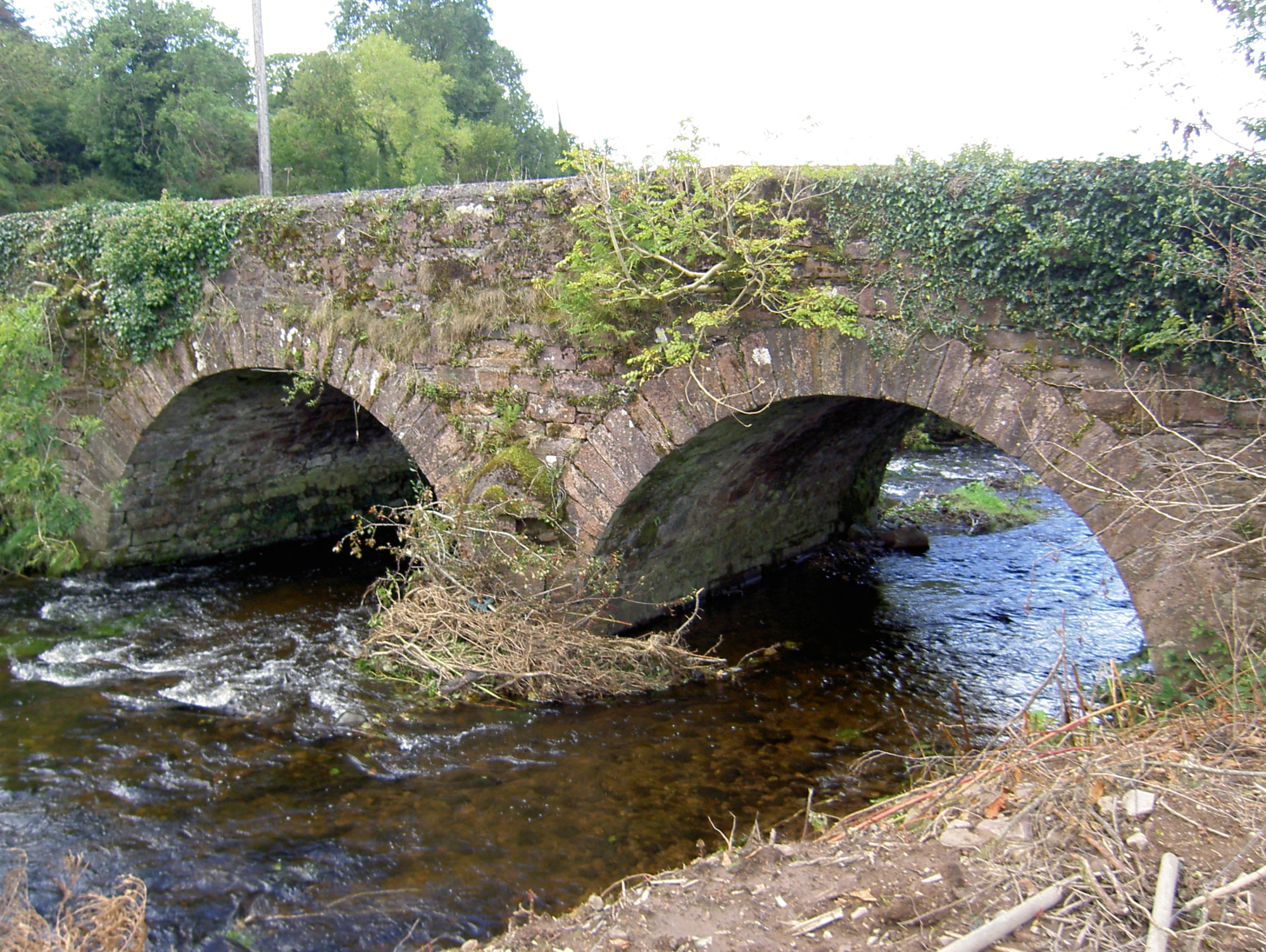 Lyon's Bridgebridge · 1624 yd
 Rathcool WoodWood · 1.6 mi
 Blackwater (Duhallow) WayWalking route · 2.3 mi
 Castle and TurretCastle, tower house · 2.8 mi
 Battle of Knocknaclashybattle · 3.1 mi
 SeefinMountain / peak · 3.4 mi
 MusheraMountain / peak · 3.4 mi
 Standing Stone ? At J WellMemorial · 3.5 mi
 Millstreet Tourist InformationVisitor information · 3.5 mi