
What is recorded here
Hot stones cracked and hissed beside the stream while people waited for water to boil. Margaret Gowen uncovered that waiting place in 1986 when the Bruff-Mallow gas pipeline cut through Garrynderk North. The fulacht fia still belongs to the field, though its stones no longer stand proud.
In pasture 210m E of the townland boundary with Ballynagoul and 10m W of a stream. Excavated hearth (LI047-062002-) lies 5m to SW, ringfort (LI047-063----) lies 110m to SE and moated site (LI047- 064---) 165m to E. Not depicted on OSi historic mapping. Fulacht fiadh excavated in 1986 by Margaret Gowen on the Bruff-Mallow gas pipeline where the monument was listed as site 1/5/4 (Gowen 1988, 179). Monument has been fully excavated and is not visible on Google Earth orthoimages.
Compiled by: Martin Fitzpatrick
Date of upload: 27 August 2021
The monument record does not grant public access. Check the route and ask the landowner before entering private land.
- What survives
- Recorded monument
Places near here
 BarrowBarrow, bowl-barrow · 757 yd
 IndicatedCastle, unclassified · 927 yd
 bridgebridge · 1487 yd
 Saint Patrick's Catholic Churchchurch/chapel · 1518 yd
 Habitation site in MountblakeneyHabitation site · 1576 yd
 Bawn in CregganeBawn · 1.5 mi
 ToberSpring · 1.7 mi
 Lady's WellSpring · 1.8 mi
 Holy Cross CemeteryGraveyard · 2.1 mi
 King John's CastleCastle · 3.6 mi
 BallinaboolaVisitor information · 4.5 mi
 Caher HillMountain / peak · 4.6 mi
Other information
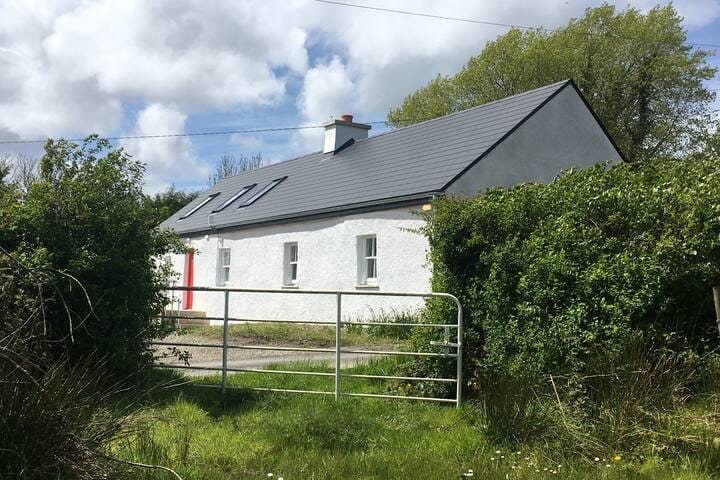
Photo: Credit not shown in the picture search · Rights wording not checked; contact us if this picture should be removed