What is recorded here
Located in a level marshy field, between the old N21 road to the W and the new road to the E. The surrounding ground to the E and n has been raised by between 1-2m, carried out as land improvement during the construction of the new N21 road. This is a low grass-covered, kidney-shaped mound, measuring 8m N-S by 7m E-W, 0.3m in maximum height. Traces of a 1m wide trough can discerned at the W side of the mound.
Compiled by: Frank Coyne
Date of upload: 06 September 2013
The monument record does not grant public access. Check the route and ask the landowner before entering private land.
- What survives
- Recorded monument
Places near here
 Burnt spread in GarraundarraghBurnt spread · 46 yd
 LispatrickbaunArchaeological place · 416 yd
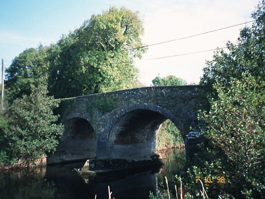 Maine Bridgebridge · 1.1 mi
 Site of Currans CastleCastle, unclassified · 1.2 mi
 KillChurch · 1.3 mi
 Site of CourtCastle, unclassified · 2.5 mi
 Common AlderCommon Alder · 4.2 mi
 PoulatouirtCave · 4.3 mi
 Poulclashcannon (blocked)Cave · 4.4 mi
 Monument WoodWood · 4.5 mi
 Scotia's GraveArchaeological place · 5.9 mi
 KnockmoyleMountain / peak · 6.3 mi