What is recorded here
On the S bank of a small stream in low-lying pastureland and c. 20m to the W of a dual carriageway. This fulacht fia is defined by a low kidney-shaped grass-covered mound (7.5m E-W; 4m N-S; H 0.5m) with a water-logged central area opening on to the stream to the N. Burnt stone is evident in the partially denuded W side. Another fulacht fia (GA095-169----) lies c. 150m to the WSW.
Compiled by: Galway Archaeological Survey, UCG
Date of upload: 25 November 2019
The monument record does not grant public access. Check the route and ask the landowner before entering private land.
- What survives
- Recorded monument
Places near here
 Uarán MórRuins · 612 yd
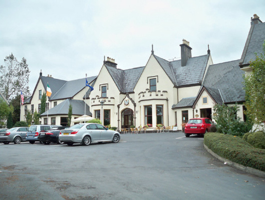 Oranmore Lodgehouse · 782 yd
 Enclosure in FrenchfortEnclosure · 896 yd
 Castle (in Ruins)Castle, tower house · 1270 yd
 ToberdonaghbaunHoly well · 1512 yd
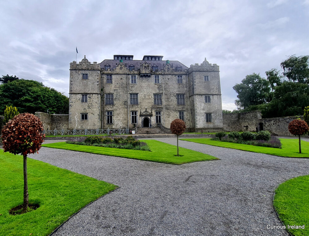 Moneyduff Castle (Site of)Castle, unclassified · 1.1 mi
 North WoodWood · 2.5 mi
 South WoodWood · 2.6 mi
 Leadmine HillMountain / peak · 3.0 mi
 Rabbit IslandIslet · 3.7 mi
 Ballyloughane BeachBeach / strand · 4.1 mi
 Royal Tara Visitor CentreHeritage attraction · 4.2 mi