What is recorded here
Excavated as part of the Dundalk Western by-pass project (Excavation Licence No. 03E1397). At the base of a river terrace at the interface with a flood-plain. Remains consisted of a thin layer of burnt stones and charcoal, a trough (L 2.5m; Wth 1.5m; D 0.5m) with no evidence for lining, a pond feature (L 5.6m; Wth 2.2m; D 0.4m) and a platform (L 1m; Wth 1m; D 0.1m) of semi-charred and waterlogged timbers. (Delaney 2006, 341)
Reference:
Delaney, S. 2006 Faughart Lower Fulacht fiadh, etc.. In I. Bennett (ed.), Excavations 2003: summary accounts of archaeological excavations in Ireland, 341 (No. 1277). Bray. Wordwell
Compiled by: Claire Breen
Date of upload: 18 November 2011
The monument record does not grant public access. Check the route and ask the landowner before entering private land.
- What survives
- Recorded monument
Places near here
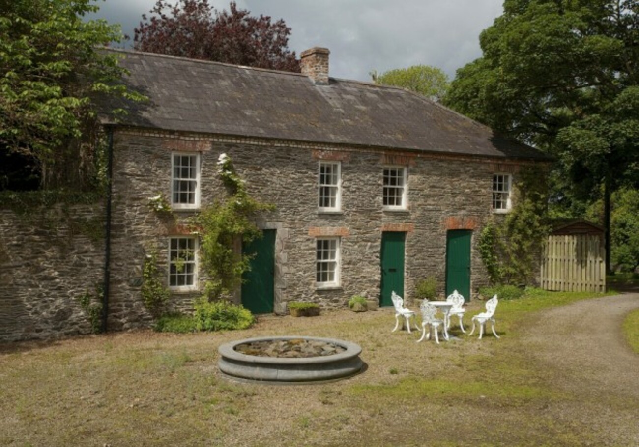 Enclosure in RedcowEnclosure · 330 yd
 Enclosure in Faughart LowerEnclosure · 516 yd
 Battle of FaughartMajor battlefield · 1034 yd
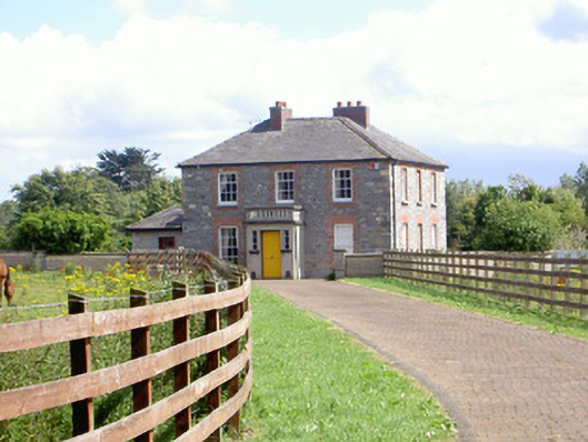 Mount Saint Franceshouse · 1245 yd
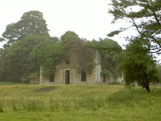 Woodlawnhouse · 1490 yd
 Faughart MoundCastle, motte · 1.1 mi
 Raskeagh FortCastle, motte and bailey · 1.4 mi
 MonascreebeMountain / peak · 1.8 mi
 Proleek DolmenArchaeological place · 1.8 mi
 SlievenaboleaMountain / peak · 2.2 mi
 Louth County MuseumMuseum · 2.2 mi
 Maid of ErinMemorial · 2.2 mi