What is recorded here
Situated on a slight S-facing slope. A remote sensing survey (18R0012) by J. Nicholls (2018) identified numerous potential archaeological features and archaeological testing (18E0495) by L. Kavanagh (2018) confirmed three isolated pits, two burnt mounds and a ring-ditch (excavations.ie 2018:226). The features were subsequently excavated by M. Piera under the same licence (excavations.ie 2019:735).
A subrectangular trough (dims 1.8m x 1.12m; D 0.25m) was filled with a layer of black sandy clay with charcoal and burnt stones. A large circular pit (diam. 2.68m x 2.6m; D 0.3m) with a similar fill was just to the N and it might also have been a trough. This pit has a post-hole at its N edge. There were three pits c. 2m to the W sealed beneath the S edge of the only surviving spread of burnt mound material (dims 4m x 2m; max. D 0.12m) consisting of grey sandy clay with burnt stones and charcoal. All features were severely truncated by modern agricultural activity, and no artefacts were recovered. (Piera 2020, 8-10)
Compiled by: Michael Moore
Date of upload: 10 December 2021
The monument record does not grant public access. Check the route and ask the landowner before entering private land.
- What survives
- Recorded monument
Places near here
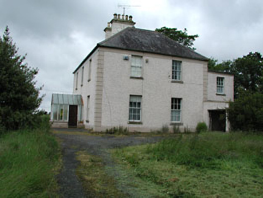 Seachnall Housefarm house · 744 yd
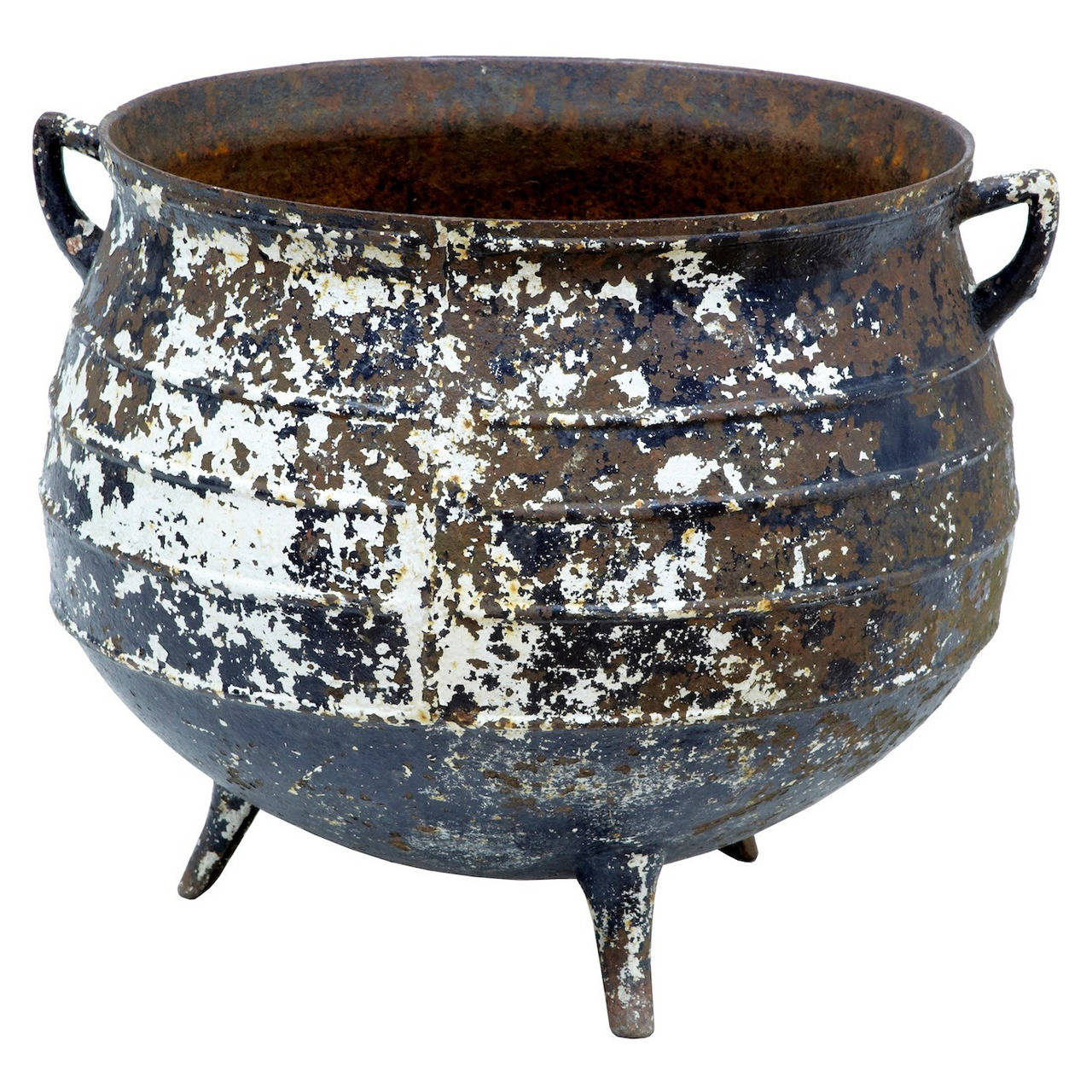 Famine PotMonument · 846 yd
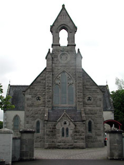 Dunshaughlin Librarychurch/chapel · 848 yd
 Church (Site of)Church · 1372 yd
 Lismahon 1798 MemorialMonument · 3.0 mi
 Killeen CastleCastle, tower house · 3.4 mi
 Site of Old CastleCastle, unclassified · 3.9 mi
 Lemur WoodWood · 4.0 mi
 Emerald ParkHeritage attraction · 4.1 mi
 Laurel WoodsWood · 4.2 mi
 1798 MemorialMemorial · 5.2 mi
 MullaghMountain / peak · 5.4 mi